

Route with natural wonders and points of interest layers
This is a great website for planning your route and your stops. It has an excellent interactive map that allows the user to turn on and off layers including, hotels, restaurants, campgrounds, points of interest, natural wonders, parks, gardens, and more. It tallies your total mileage, travel time and includes an estimate for fuel expenses that updates as you alter your route. Depending on what your interests are, just turn on the layers and you'll be sure not to miss anything along the way.
2. Prep for Disconnected Navigation
National Parks and Forests are generally very remote. That's what makes them so beautiful and receive a "National" designation by our federal government. However along with that comes a serious lack of cellular service which most of us have become so accustomed to with our smartphones navigating us everywhere from coffee shops to baseball games. Plan ahead and maybe pickup a hard copy map or find an app that allows you to download the base layers ahead of time so you are not stuck with a blue dot on a white screen while Siri is out to lunch.
3. Get a Benchmark
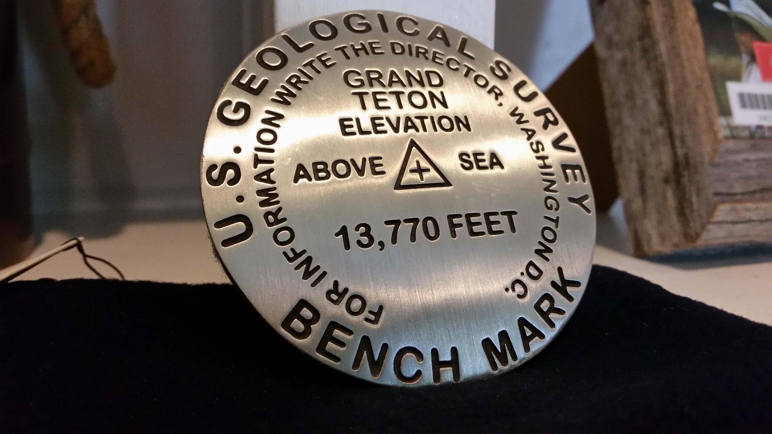
Replica benchmark from Grand Teton
You don't have to steal them to have a great looking souvenir from the top of the rock. Even though I did not summit Grand Teton (it is on my bucket list now), I was able to pick up this awesome monument created by Geo Situ that provides geographic information as well as some great memories. They have these available for almost any geographic point of interest in the world. I have a feeling this could be the beginning of a prized collection some day.
4. Backroads.com
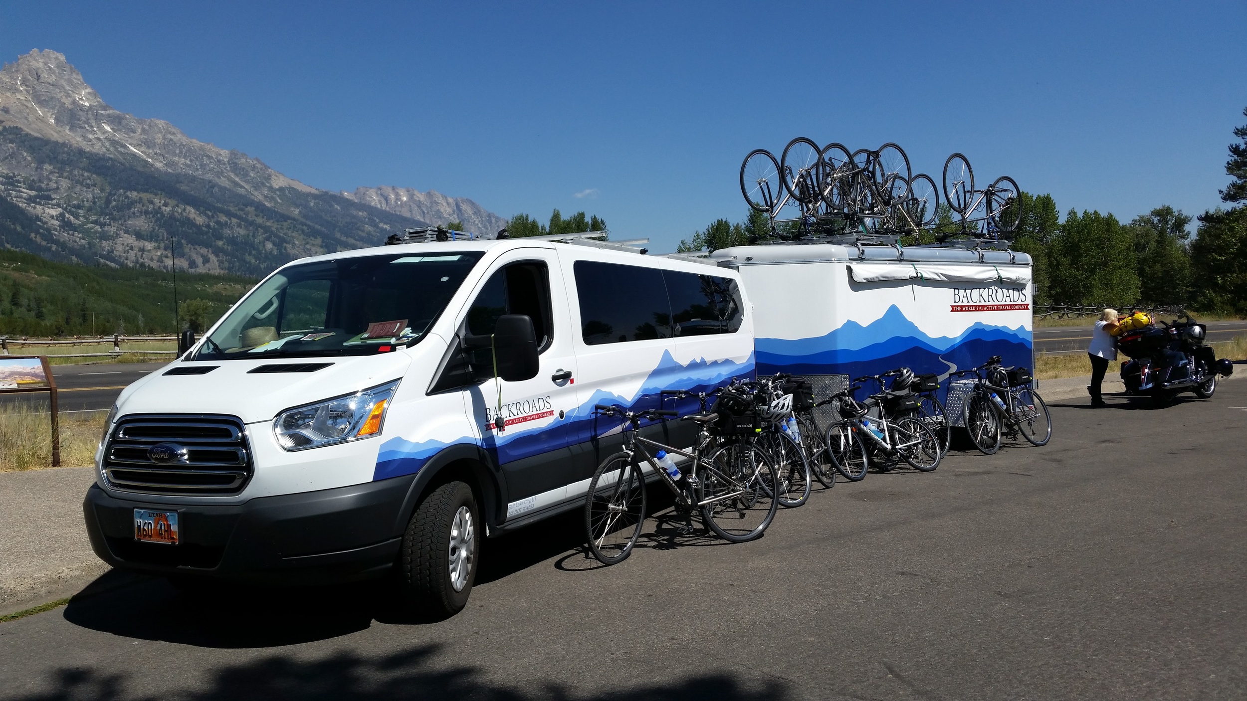
During our recent trip out to Yellowstone, we saw these guys all over the place. They offer active travel trip packages where they provide everything along the way and you just enjoy your favorite activity along the way. Biking, Walking, Hiking, Rafting, Kayaking, or Snowshoe are just a few of the many travel methods you can pick from. Each itinerary includes several points of interest to keep things interesting along the way. I'm not much for sitting around on my vacations so if you want to get off of the beaten path and actually see things, this might be the way to go.
5. Geotag your Photos
If you want to remember where that picture was taken or you need to put together a map of all the stops you made, geotagging your photos is a great way to make it easy. Most smartphones have this capability already enable for you if location services are turned on. A few consumer cameras have this capability but not very many. Visit this wiki page for more information on how to geotag photos that were not tagged when they were taken. Here is a sample of what you can do with them with geotags.