
Erin Strickler - Director of Data Services
What is stopping you from accurately locating all of your assets in the field and using that information to make informed, data driven decisions - Cost? Time? Outdated equipment or software?


Cloudpoint has been assisting clients with asset data collection for more than a decade, all while watching the technology continually improve and becoming more affordable at the same time. Gone are the days that a smaller organization would not be able to consider reaping the benefits of GIS. With these advancements we are able to bring GIS to any organization with an affordable, easy-to-use, mobile and collaborative environment.
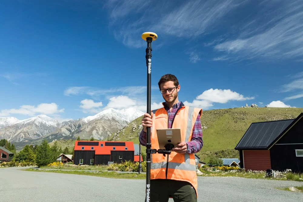
The Trimble DA2 is the newest generation of compact, lightweight, affordable GPS receivers. ArcGIS Online is Esri’s premier web-based GIS platform. Easily configured together and customized to your municipality's specific needs, users can create, edit, and share with anyone from anywhere.
Connected to Trimble’s Catalyst™ GNSS positioning service, the DA2 can collect data with horizontal accuracy down to one centimeter and vertical accuracy of approximately 2-4 centimeters. This data feeds directly into your ArcGIS Online account through a cellular connected device when paired with Esri’s Field Maps mobile application. Field workers locate assets, edit attributes and attach pictures in the field, while managers can make further attribute updates and track assets in the office in real-time through a web browser via applications like a web map or dashboard. Any amount of this data can then be shared throughout your organization and/or the public via ArcGIS Online.
Already have CAD or GIS data? No problem! Cloudpoint can assist with importing and configuring your existing data to meet your organization’s needs, and train your organization’s staff on how to maximize the interactive and analytical powers of ArcGIS Online. You’ll then be ready to update your GIS as changes are made in the field. Already have an ArcGIS Online account? You guessed it - no problem! We can audit, update, and refresh your entire system to prepare you for your new GNSS receiver.
Your organization is ready to embrace the future. We can help.

For more information, check out our previous webinars:
Data Collection Tips and Tricks Using ArcGIS Field Maps and Trimble's R2
Starting a GIS from Scratch: A Recipe for Success
Or contact us today for more information!