Did you know that Central Illinois’ largest cemetery has over 75,000 gravesites? And it is the final resting place of some of the most famous historical Illinoisans. When the cemetery needed an upgrade to their mapping software to ingrate a more user-friendly, web-based system, they turned to Cloudpoint Geographics.
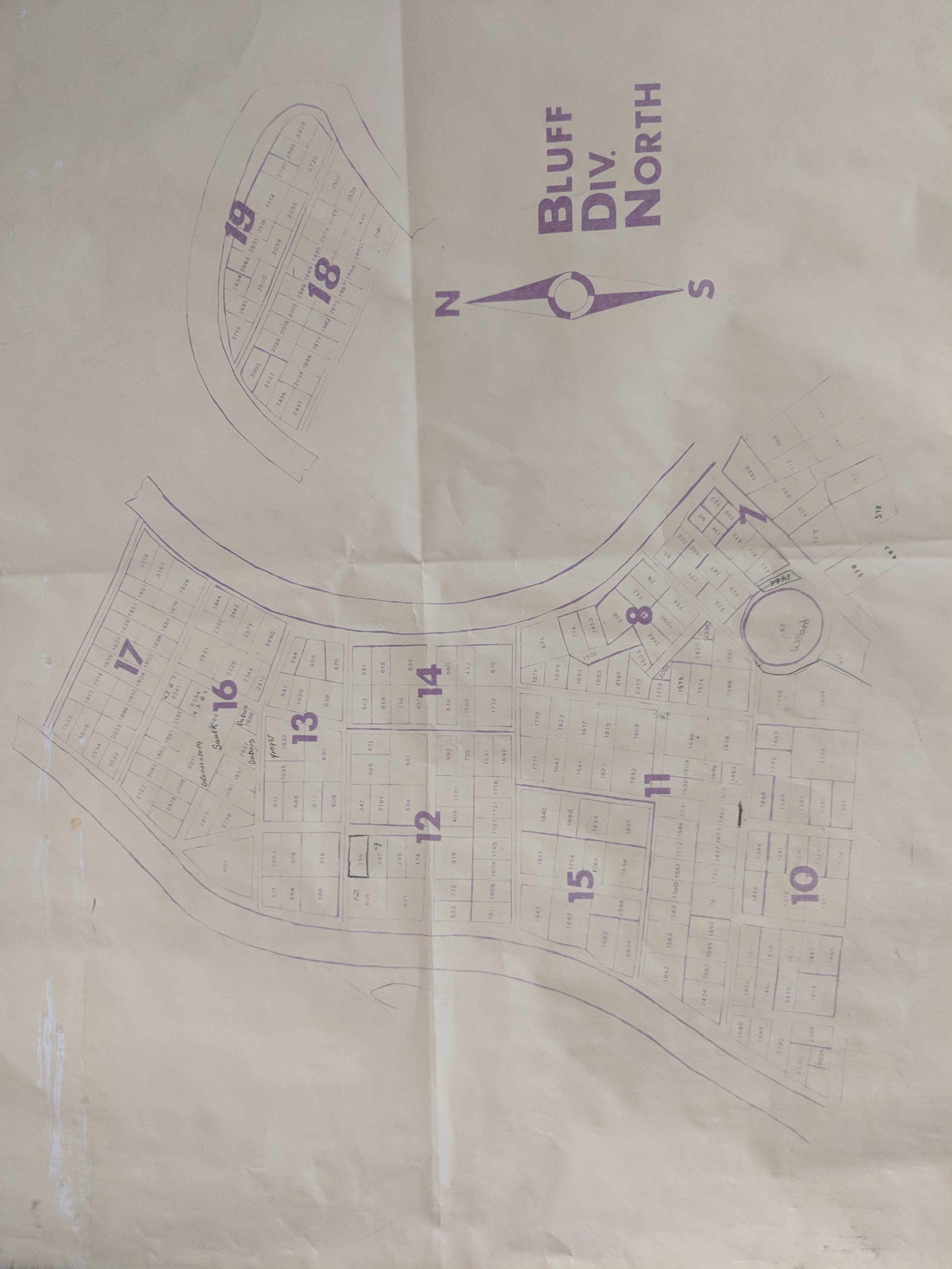
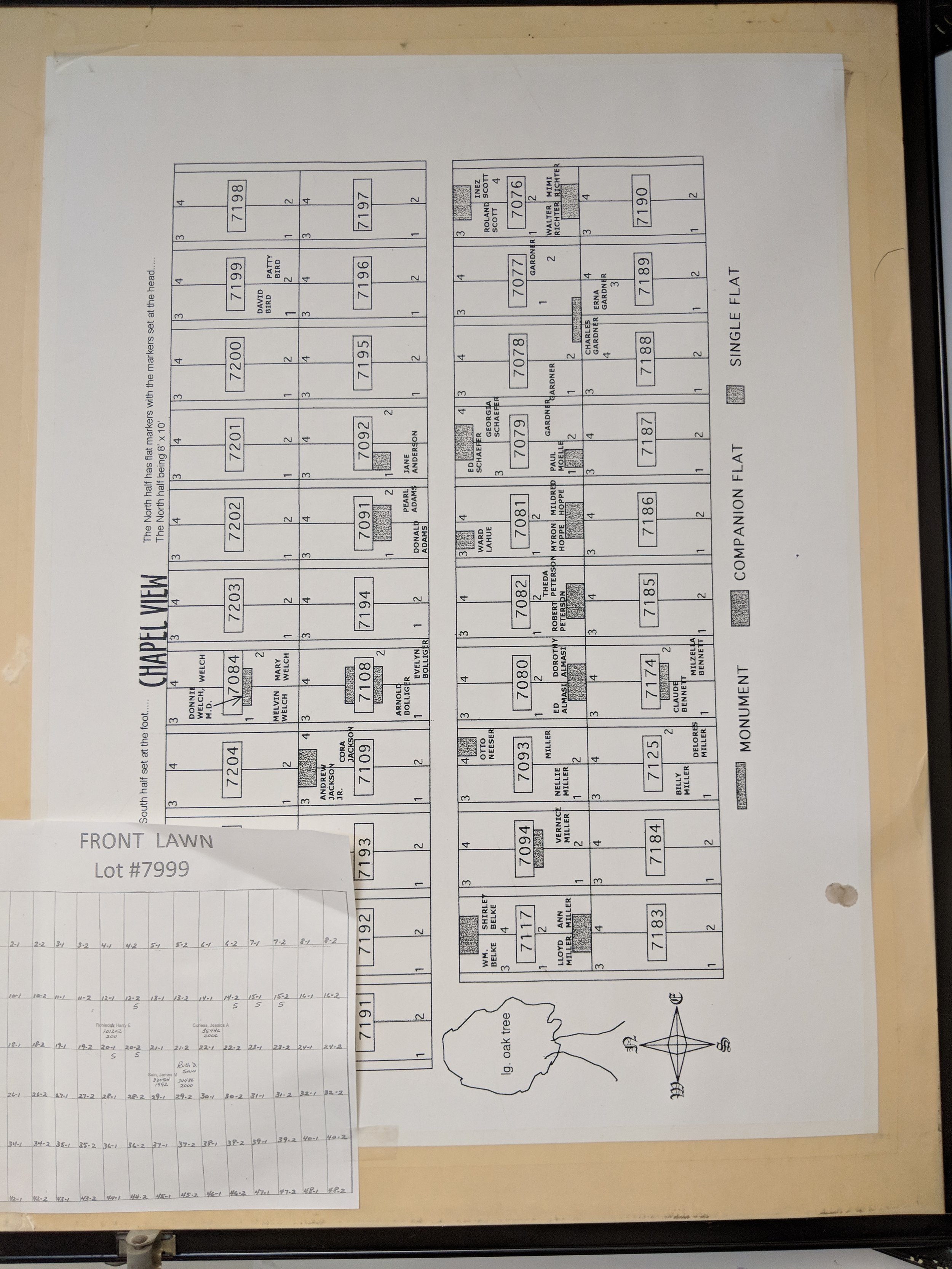
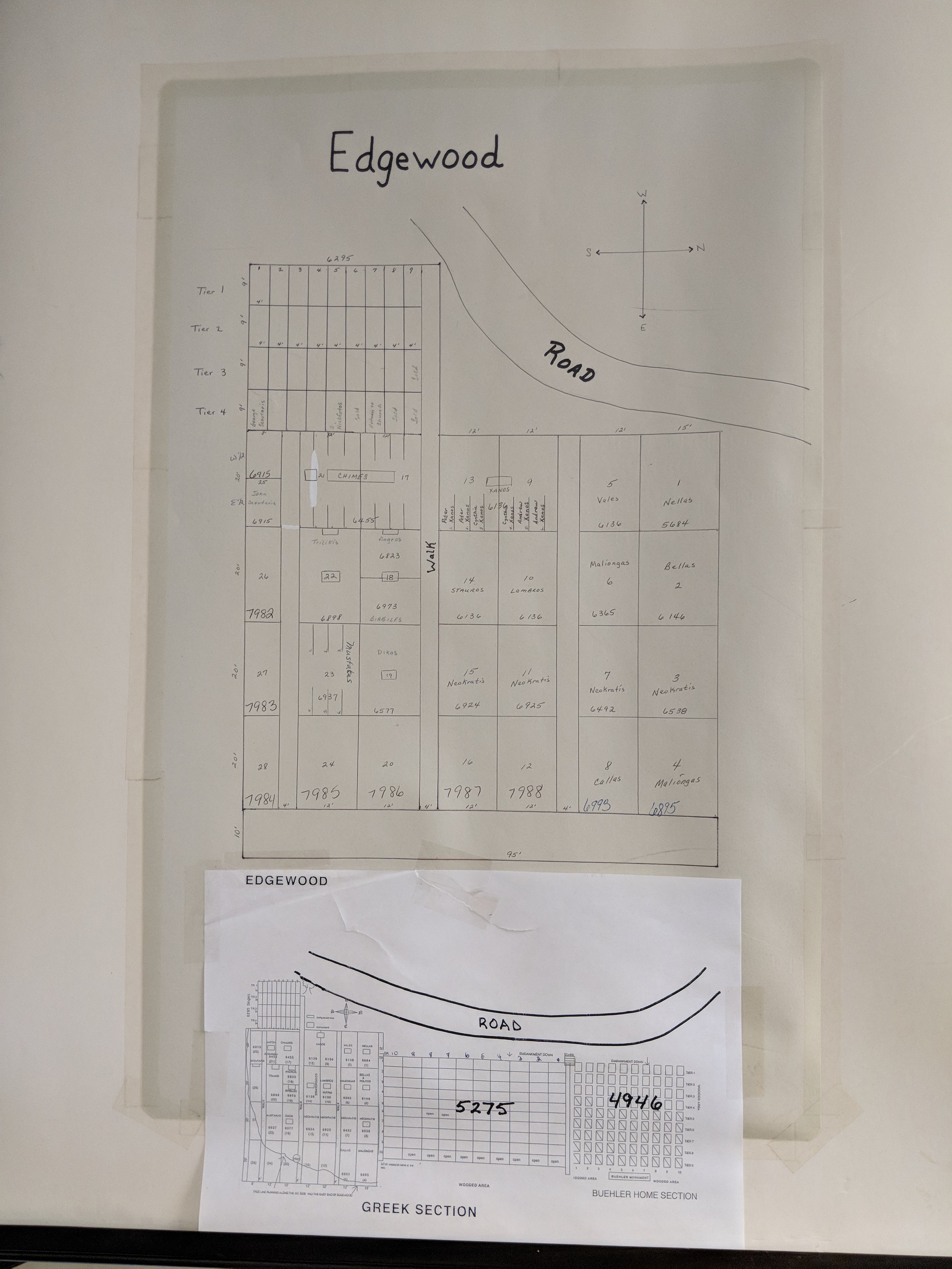
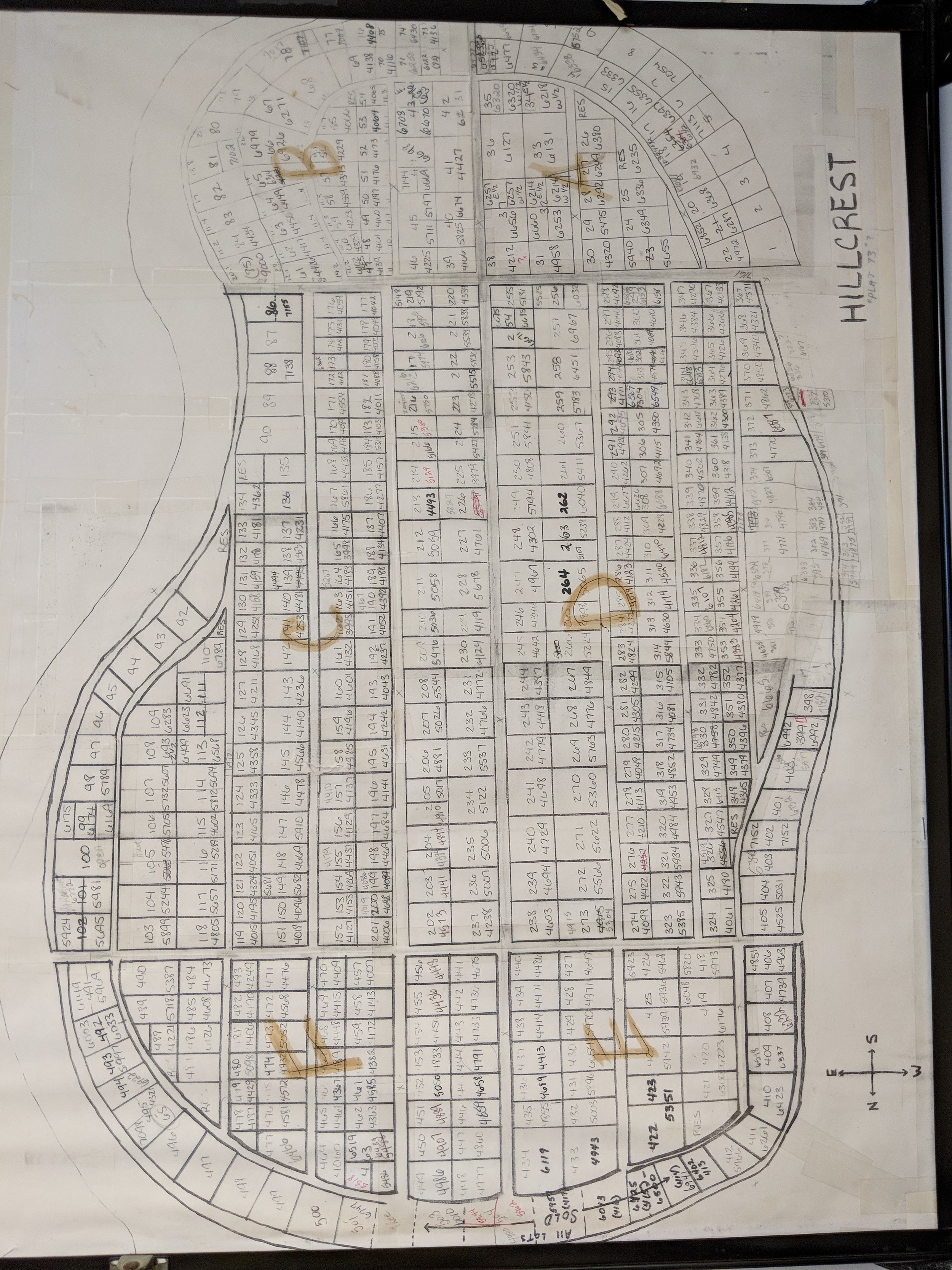
Each section of the cemetery had its own set up maps and related grave records. These historic records were manually reviewed and data entered into the new mapping system. The final application will consist of a searchable, interactive, GIS web map for cemetery managers to easily update records for burials and track lot sales.
The team was able to provide drone flights and GPS data collection to introduce high-resolution imagery onto the scene and increase spatial accuracy of all gravesites along with the various sectional layouts of the cemetery. As part of the final project the Client will be receiving an interactive web-based mapping application to easily search, edit, and updated burial records, lot sales, and ownership information for each site. In addition, Cloudpoint will be providing a public-facing web map that allows the public to search by last name to find loved ones or to support genealogical research. For more information on how your cemetery can improve data management and benefit from integrating GIS technology contact us or call 877-377-8124.


