

The Cloudpoint is excited to have the opportunity to take the City of Pekin’s GIS to the next level. The city has used Cloudpoint’s professional GIS services off and on for the past five years but after losing their full-time GIS coordinator last fall, they realized the critical importance of maintaining their GIS system and decided to take their relationship with Cloudpoint from one of courting, to a more serious partnership. With that, Cloudpoint and the City of Pekin have engaged in a two-year contract for professional GIS services to support the various departments throughout the city. The team has begun intensive meetings with city staff to further dive into their needs and how they can better utilize the GIS system for their daily workflows. With the new contract, Cloudpoint staff will be onsite for up to 30 hours per month, with additional technical support services coming in the forms of enterprise GIS management and GIS application deployment. One of the main objectives is to enable city staff to take more ownership of GIS data and make edits and updates for their department with user-friendly web-based applications. The Client has a wealth of GIS data which has been well managed and distributed in the past but with greater editing capabilities, the use of real-time GIS updates should further enhance the value of their data. In addition, the city hopes to easily share this authoritative data both internally as well as externally to contractors, consultants, and developers. For more information on Cloudpoint’s Managed Professional Services (MPS) please contact us or call 877-377-8124.
New office Coming Soon!
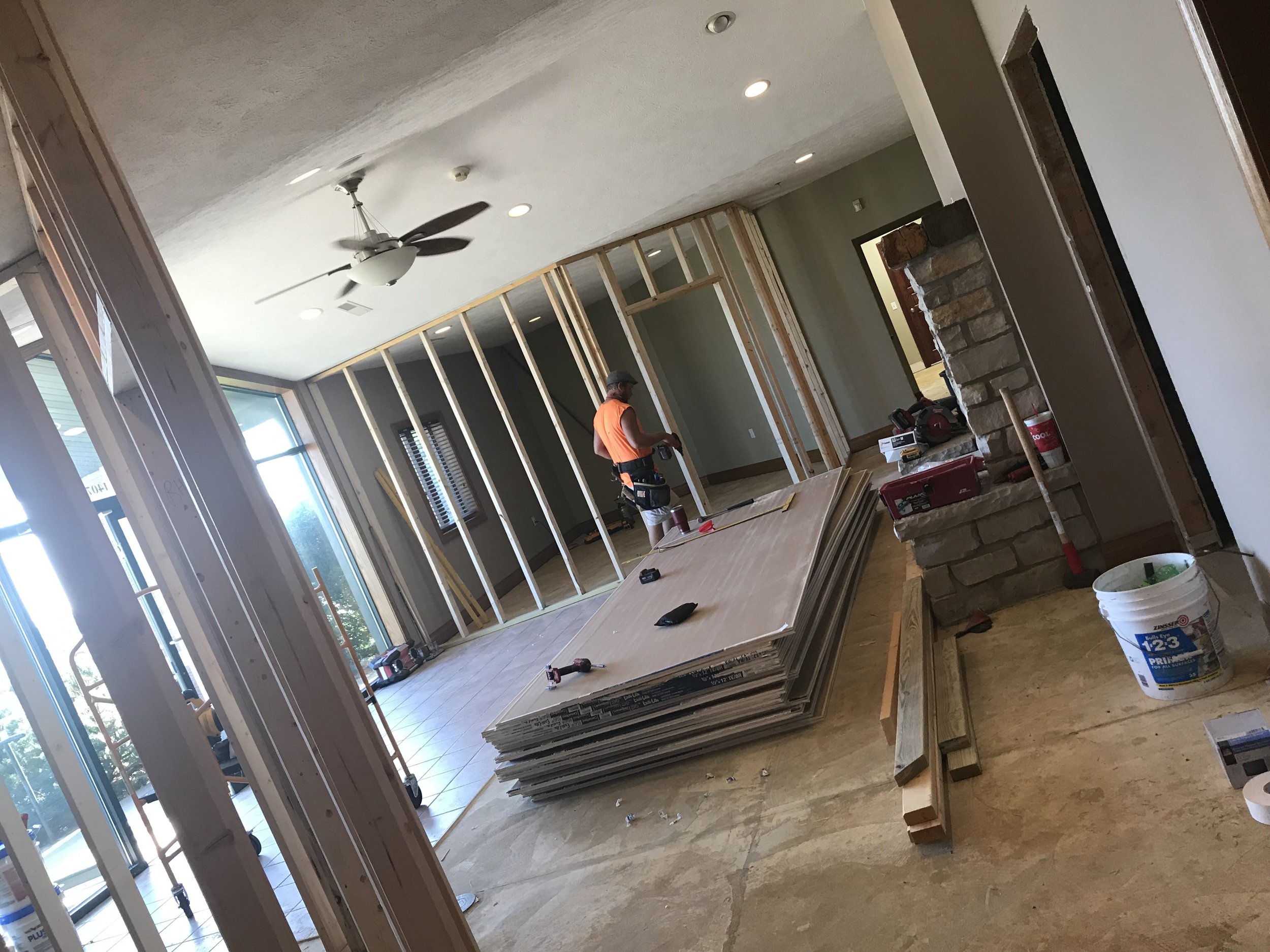
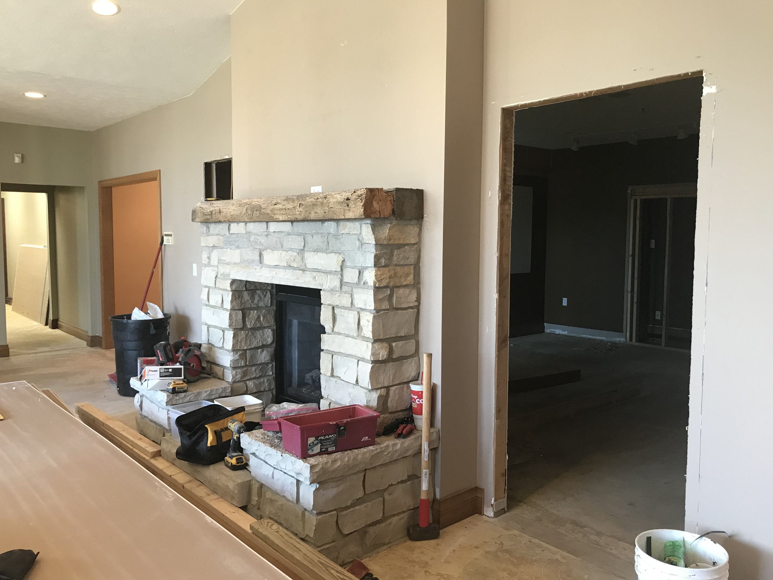
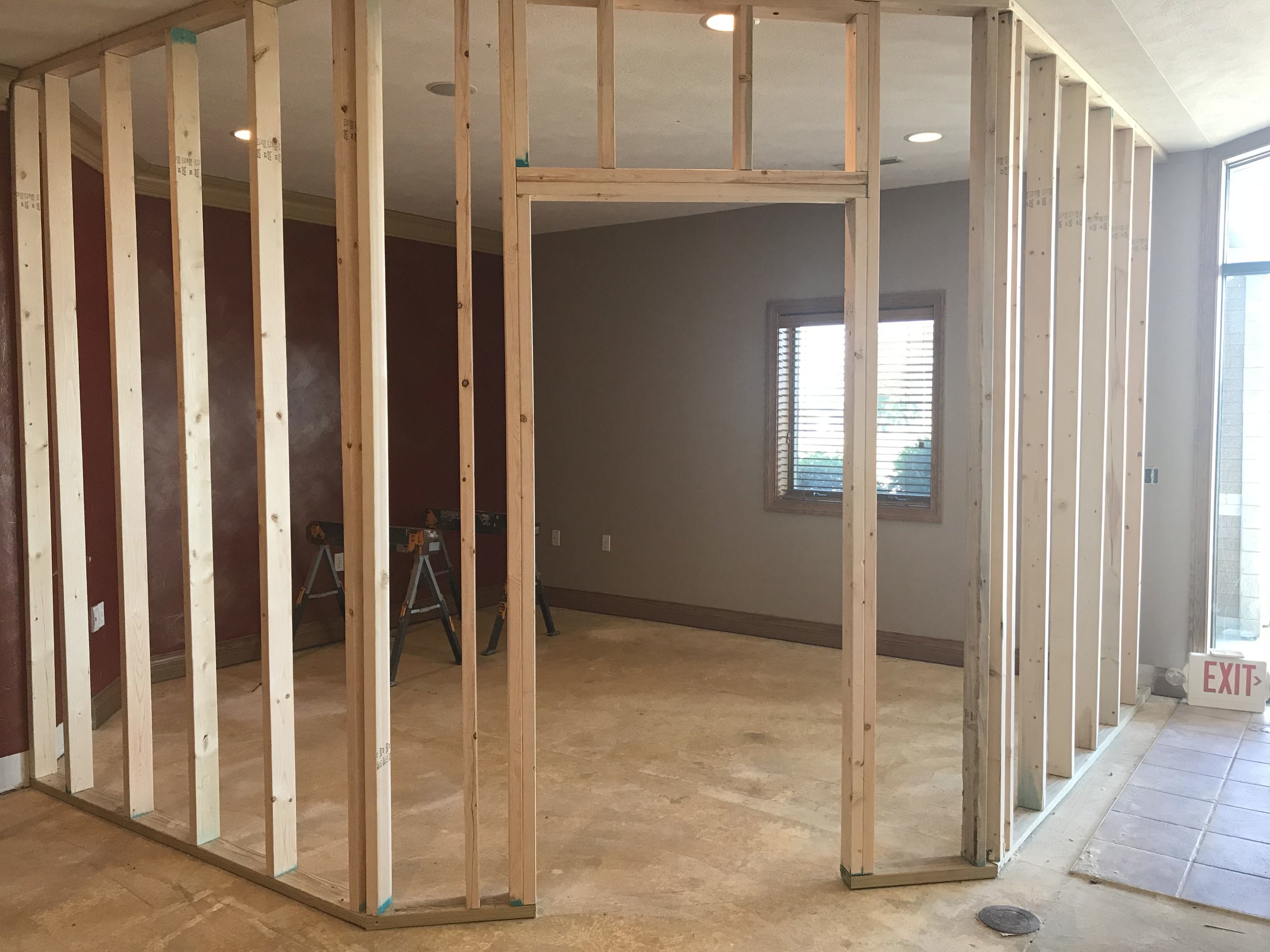
It’s been almost 4 years since we moved into the old dentist office in Roanoke, IL and at the time we knew that space would be limited if we continued to grow. We are thankful and blessed to have experienced consistent growth and realize the time has come to secure some additional space. Remodeling work is well underway at the new location which will be on the west side of Roanoke. The new building will allow additional space for our staff and offer some flexibility for our continued growth. The team is excited to be relocating and we look forward to bringing you more details in the near future.
A Tale of Two Interns
It’s been a very busy spring (and summer) at Cloudpoint Geographics. We are neck deep in cemetery mapping, parcel fabric conversions, ArcGIS Enterprise installs, managed services contracts and indoor mapping. So much is happening we are slacking on keeping up with keeping you up to date.
We would like to introduce you to our summer interns:
Titus Williamson
Titus started with us in early May and jumped in without hesitation. He has helped with a culvert inventory (forgot to mention that one) and is actively working on the Springdale Cemetery project. Titus attends Northern Illinois University, is majoring in Environmental Studies and also works as a barista at the Spot in Peoria. And yes, he is related to Micah.
Drew Martin
Drew is a 2018 graduate of Roanoke-Benson High School and just started this week with Cloudpoint. He is just beginning to understand what we are about and is excited to learn GIS. Drew is also currently working through our quality control project of Springdale Cemetery and looks forward to getting into some field work with the data collection portion of the culvert inventory. He currently attends Illinois Central College and will major in Computer Science with the intention to continue his education at Illinois State University. Drew enjoys spending time outdoors doing activities like fishing or golfing or just hanging out with my friends and family.
Welcome Guys!
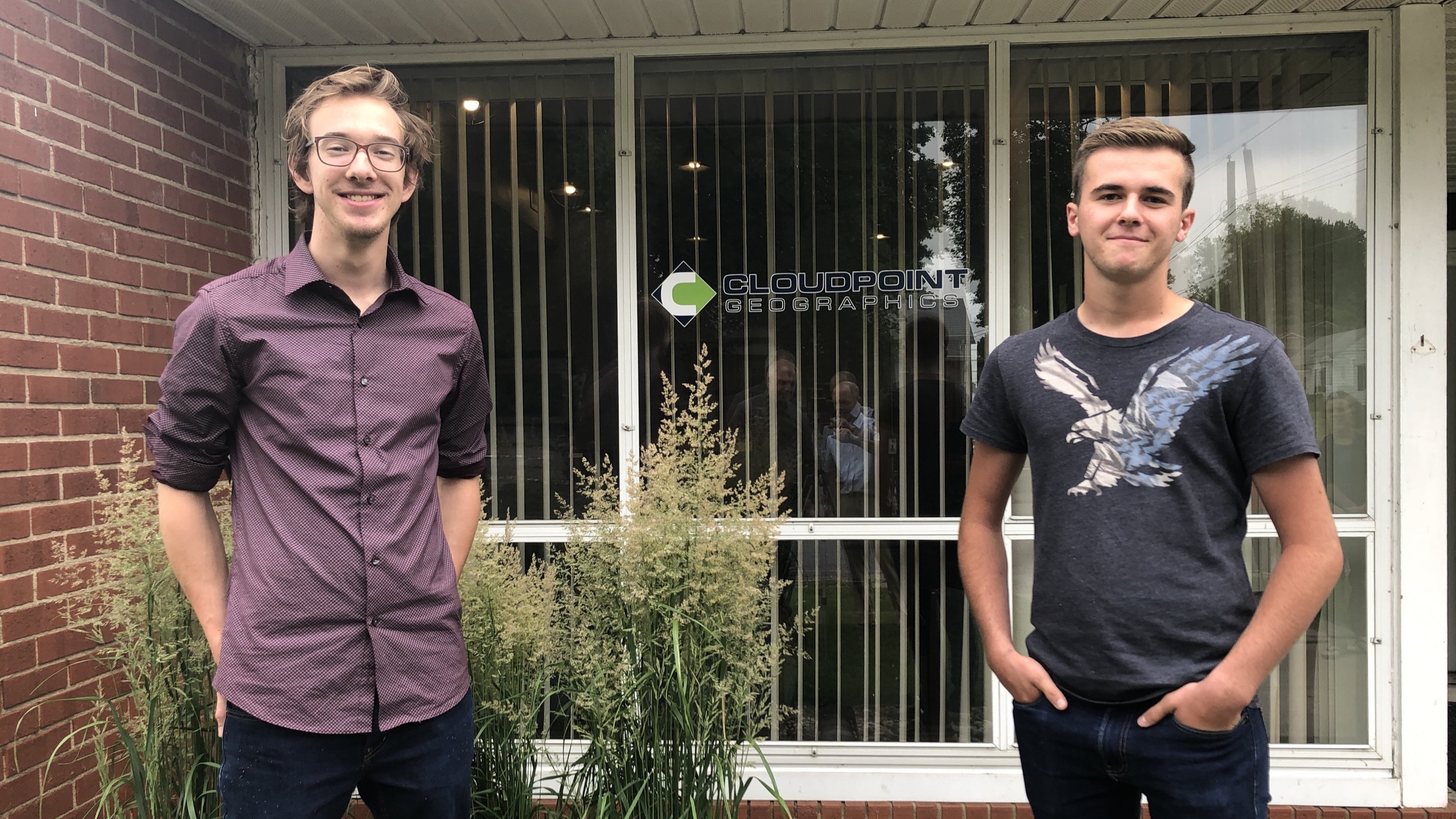
Titus on the Left, Drew on the Right. (don’t mind the reflection of Micah & Jon in the middle)
City of Rockwall, Texas gets Parcel Mapping upgrade

Cloudpoint Geographics’ Land Records team will be providing parcel fabric migration services to the City of Rockwall, TX. The City has approximately 18,000 parcels and would like to take advantage of Esri’s most advanced parcel mapping functionality. With the new fabric they can take advantage of Plan Directory, Least Squares Adjustments, Control Points, Historic Parcels layer and more. For more information on how you can benefit from Esri’s parcel fabric please contact Cloudpoint’s Land Records team.
SignOps Celebrates 5 Years!
It was 5 years ago this month, in 2014, that Cloudpoint introduced its first and only asset management application, SignOps, for traffic sign inventories. SignOps was introduced as an innovative, web-based sign inventory management system that will make your team more efficient and your inventory tracking a snap. Since then, public works and transportation crews have been enjoying the SignOps mobile app, which allows users to easily collect GPS location, photos, and even scan barcodes to track maintenance history, retroreflectivity, and sign inspection information. This is just one example of how Cloudpoint Geographics is helping its many clients use location based technology to make informed, data-driven decisions. For more information about SIgnOps sign inventory management system visit cloudpointgeo.com/signopsinfo or call 877-377-8124.

Facts about SignOps
• Over 120 users
• Over 30,000 maintenance activities
• Over 750 pre-loaded sign types
• Scalable, Secured, Performance cloud-based storage
• Unmatched technical support
• Developed and tested with End Users
Here you can find printer friendly versions of our SignOps Brochure or the Signs of Success Case Study
Another EPC Success Story!
Cloudpoint is proud to be an active part of Esri’s Business Partner network. As part of this network, our leadership team regularly attends Esri’s Partner Conference to keep up with the latest technology from Esri and to help our clients stay current with the best practices in the industry. Here you will find Jon’s highlights of his recent visit to the Esri Partner Conference in beautiful Palm Springs, CA.
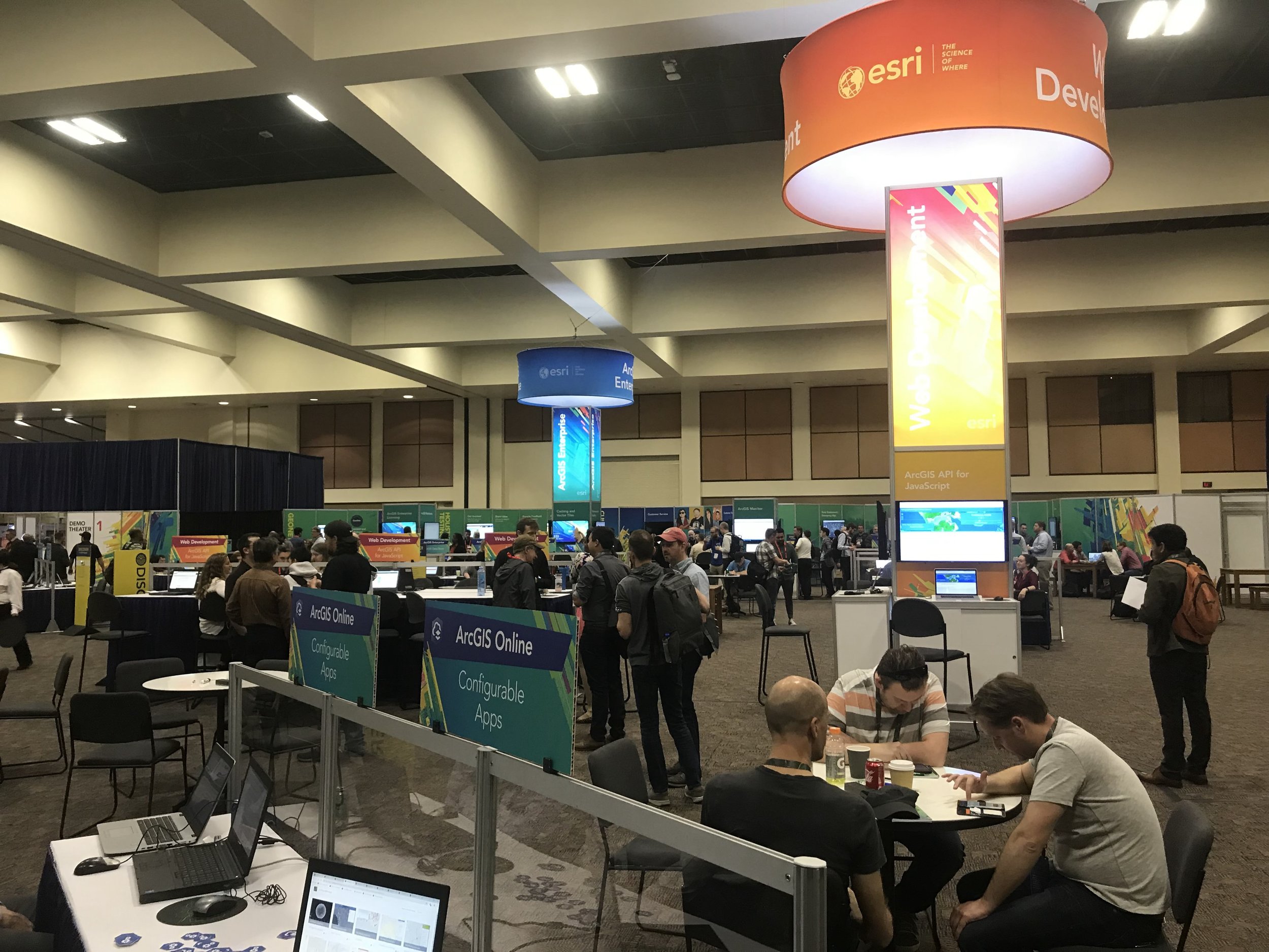
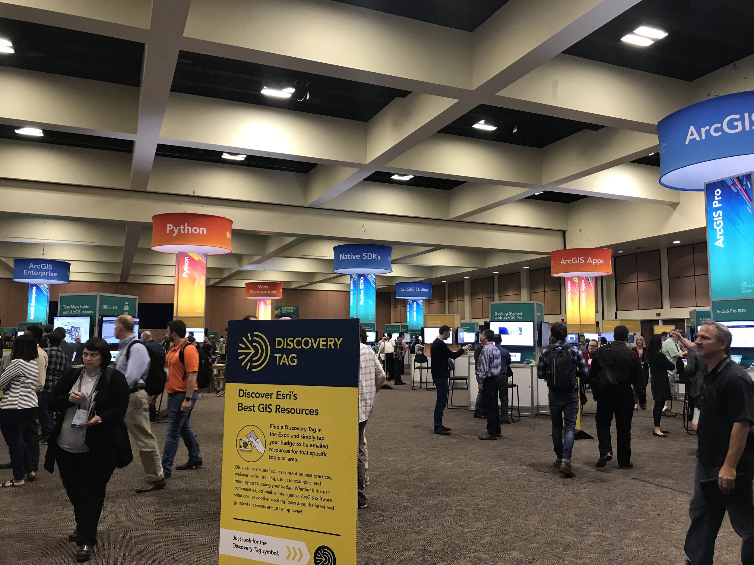
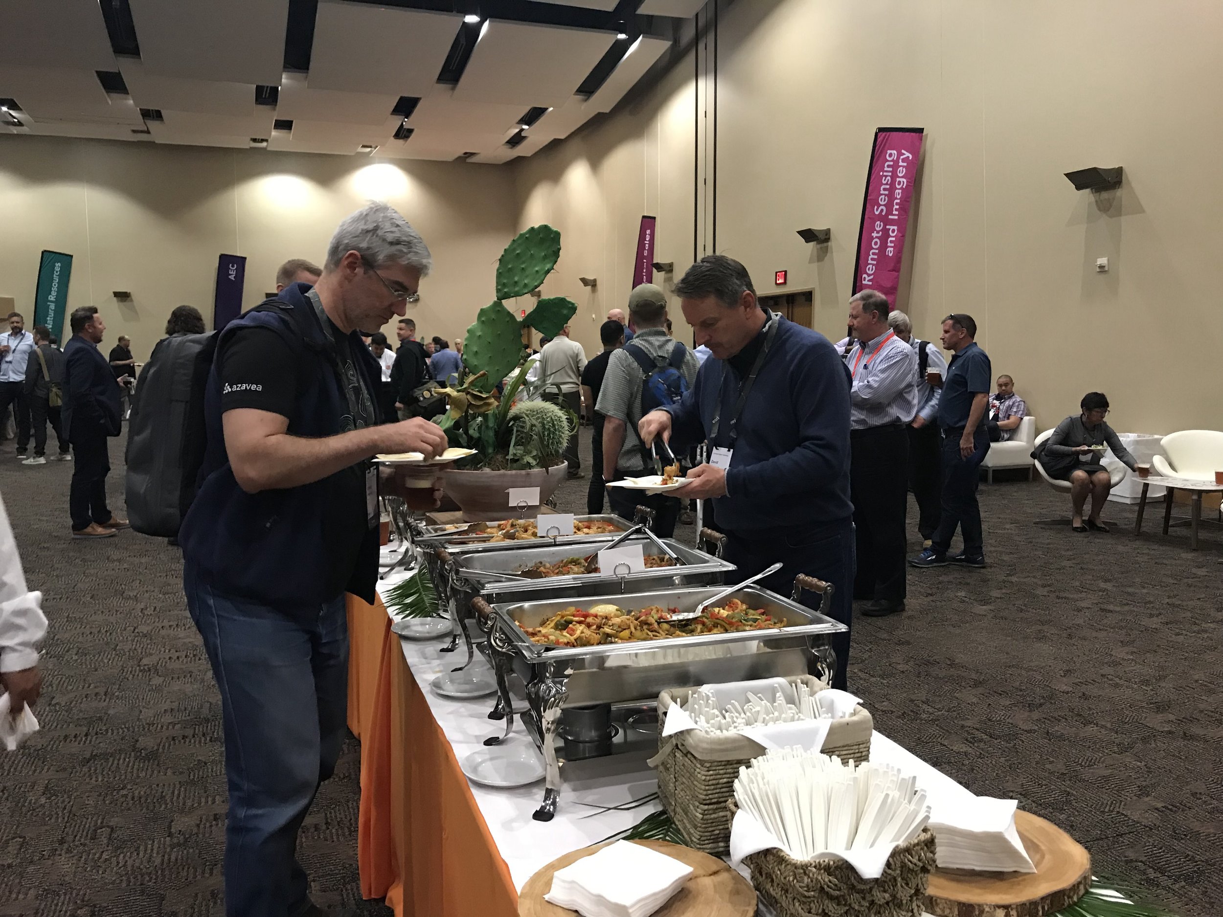

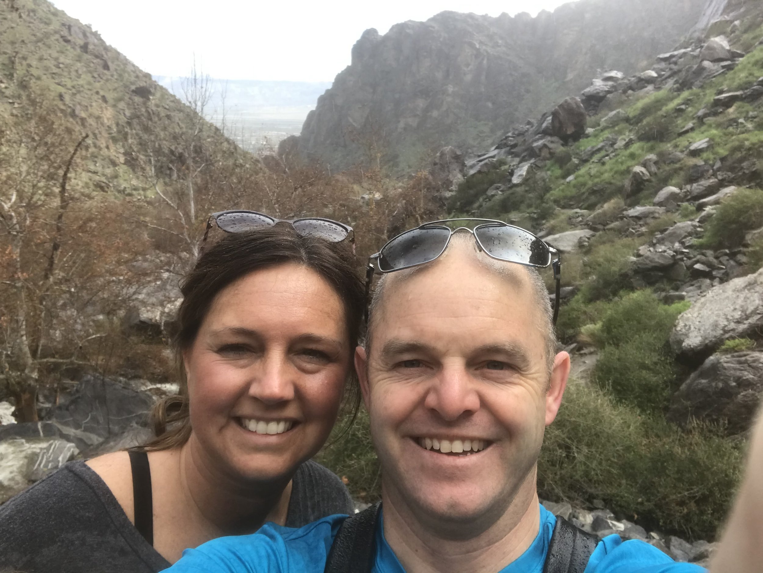

This was my first trip to the partner conference after hearing Micah come back each year and talk about what an amazing event it is. He kept saying “you’ve gotta go” so finally I went. It not only lived up to the expectations but exceeded them. Even more special was the fact that I was able to enjoy some time with my wife, Megan, as we celebrate 20 years together. I will definitely plan to be back to the EPC in the future. Here is a quick summary of some of the highlights of my learning experience.
A Business First Approach
Too often we try to solve GIS problems by introducing a solution before we actually learn the problem very well. We were encouraged to openly communicate with the Client to learn their problems and pain points first, then find a GIS solution that solves that problem. A good example of this is Cloudpoint’s ability to configure GIS web applications using ArcGIS Online and Esri’s Web App Builder to analyze data, solve problems, drive decision making for our Clients. We listen to them closely and then go to work on solving their problems.
Be Release Ready
Having release ready solutions and services aligned with the latest version of ArcGIS is a critical part of Esri’s strategic plan for its partners. Cloudpoint sees release ready as being an important part of its future as well. In order to stay aligned with Esri’s direction we will be pursing our certification for release ready services to best serve our customers. Stay tuned for more information on this.
Automate / Integrate: The Future of GIS
With so many different solutions out there, one of the common questions we get is “how do I get software A, B, or C to talk to my GIS?” Being able to connect the dots by linking GIS system data and feature services with the customer’s existing applications is critical. Sometimes good data really doesn’t come to life until its display by location. Agencies are collecting data at a faster rate than what they can consume it. Creating automated workflows and integrating the links with their data to the GIS can start to give them an advantage in staying ahead of the curve. Lots of historic data is a good thing but connecting it to your GIS maps to drive decisions makes it even more useful.
Cloudpoint Geographics is pleased to be a part of Esri’s partner network and is thankful for the relationships our team has built over the years with both Esri and our clients.
Meet the Cloudpoint Team at the WLIA 2019 Annual Conference
Cloudpoint Geographics will be exhibiting at the WLIA Annual Conference Feb 20-22, 2019 at Red Lion Hotel Paper Valley in Appleton, WI.

Look for Cloudpoint’s Micah Williamson and Matt Junker at the upcoming conference. Stop by with any questions regarding our services including:
Wisconsin Land Information Association has been an excellent organization to be a part of. Every conference is filled with learning opportunities as well as great social activities. Don’t miss out on your chance to be part of the latest GIS news in Wisconsin during this upcoming event.
Contact us for more information or to setup a time to meet at WLIA.
A Mapping Overhaul for Peoria's Springdale Cemetery
Did you know that Central Illinois’ largest cemetery has over 75,000 gravesites? And it is the final resting place of some of the most famous historical Illinoisans. When the cemetery needed an upgrade to their mapping software to ingrate a more user-friendly, web-based system, they turned to Cloudpoint Geographics.

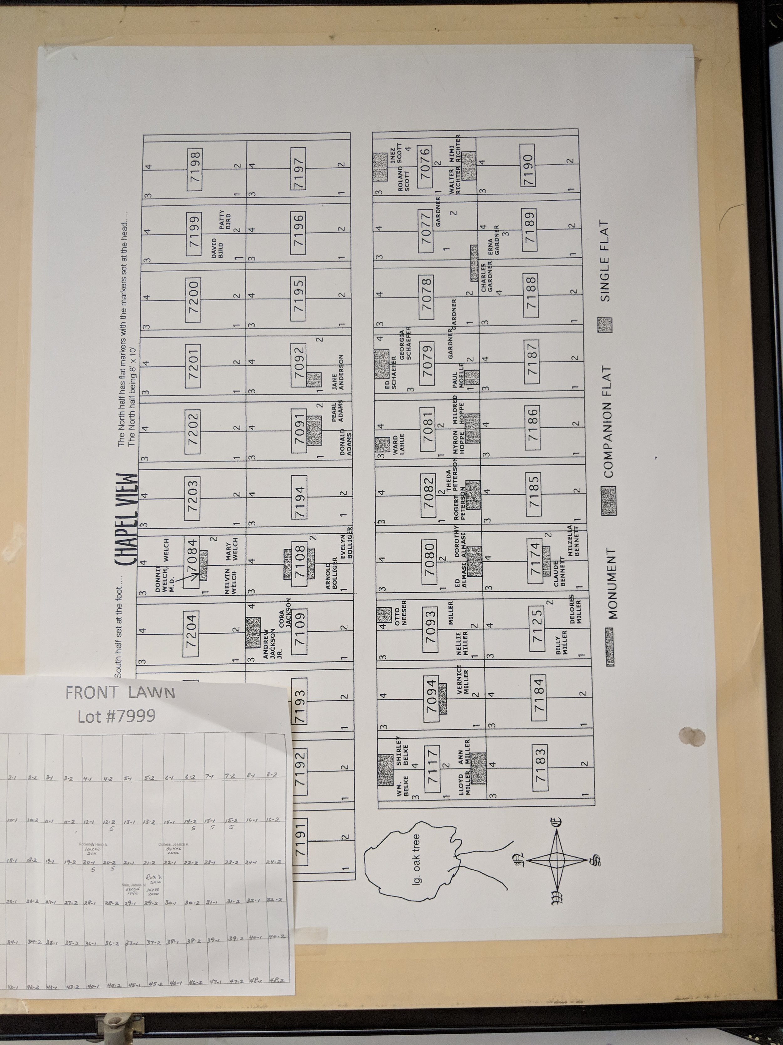
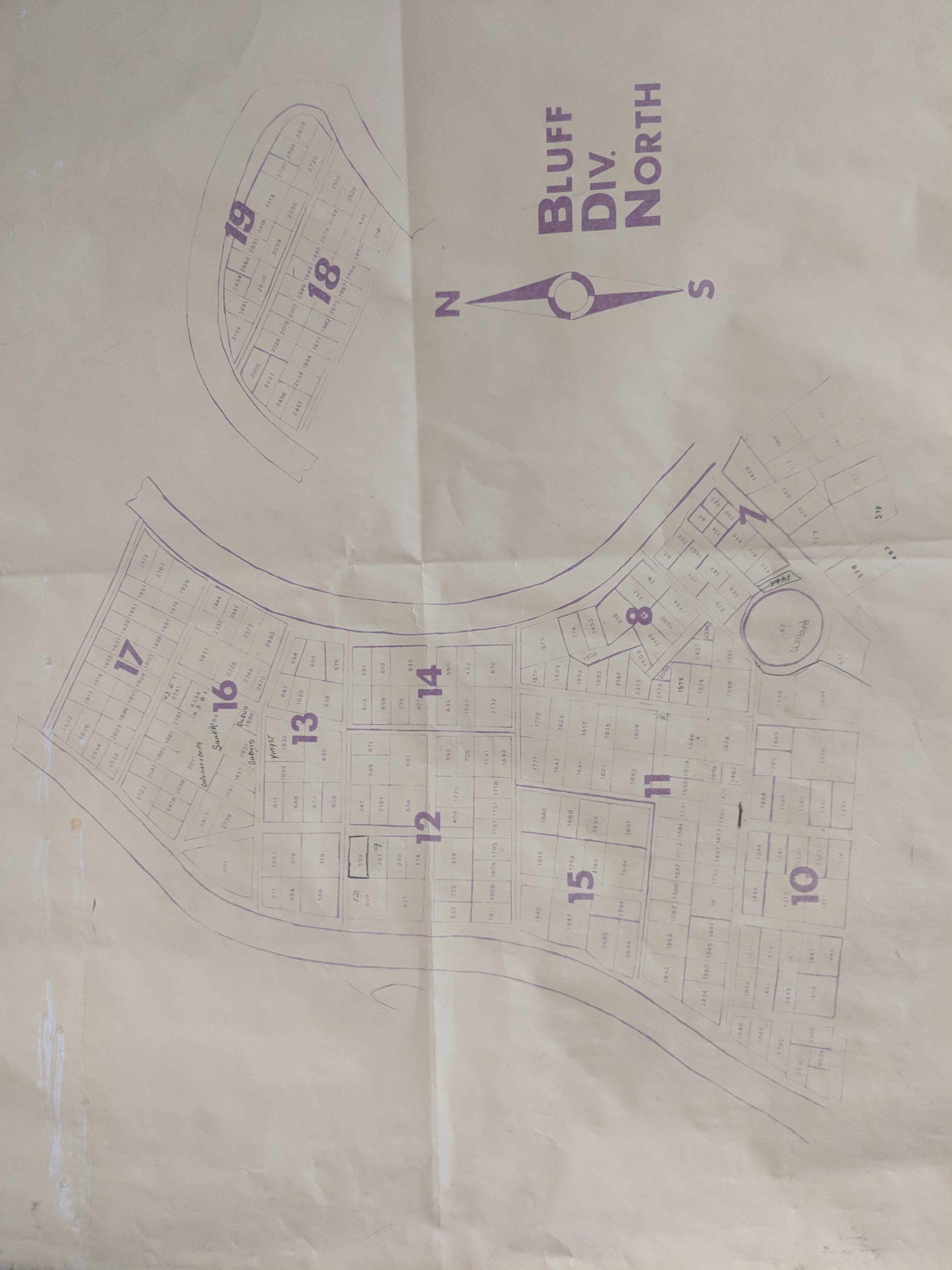
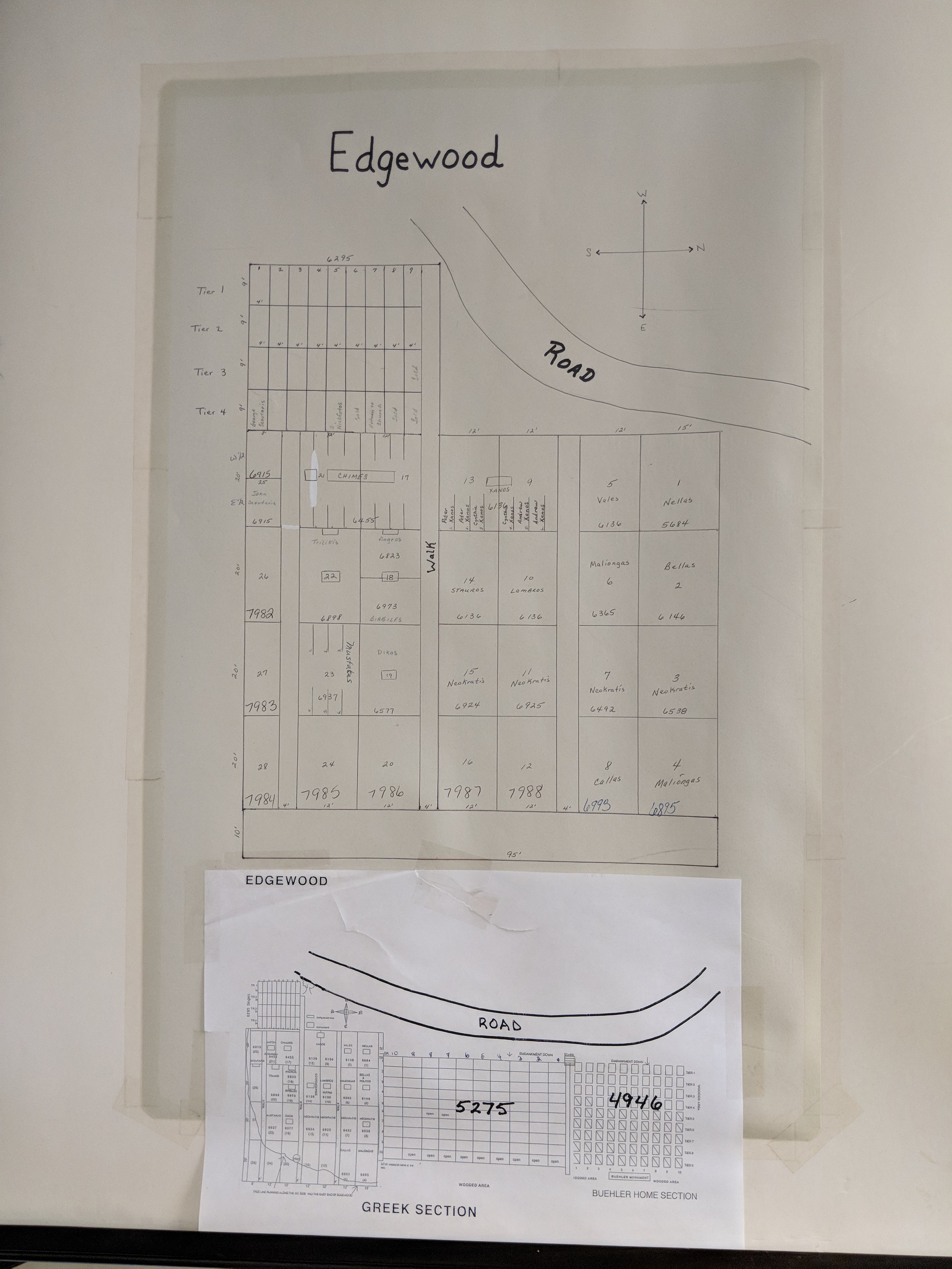
Each section of the cemetery had its own set up maps and related grave records. These historic records were manually reviewed and data entered into the new mapping system. The final application will consist of a searchable, interactive, GIS web map for cemetery managers to easily update records for burials and track lot sales.

The team was able to provide drone flights and GPS data collection to introduce high-resolution imagery onto the scene and increase spatial accuracy of all gravesites along with the various sectional layouts of the cemetery. As part of the final project the Client will be receiving an interactive web-based mapping application to easily search, edit, and updated burial records, lot sales, and ownership information for each site. In addition, Cloudpoint will be providing a public-facing web map that allows the public to search by last name to find loved ones or to support genealogical research. For more information on how your cemetery can improve data management and benefit from integrating GIS technology contact us or call 877-377-8124.
Tazewell County 9-1-1 Receives GIS Data Upgrade

Late last year, the Tazewell County ETSB contracted with Cloudpoint Geographics to provide GIS Data Cleanup and Configuration in preparation for NG9-1-1. The contract includes the following major components that will be configured and delivered through Esri’s ArcGIS platform including ArcGIS Online for communities to submit updates to road centerline and address data.
Data Assessment to review existing data and analyze errors
Integration of GIS updates with the Client’s CAD (Computer Aided Dispatch) system
Coordination with local agencies to incorporate local GIS data layers
Building structure points layer with classification
Spatial updates to road centerlines and address points
Correcting topological errors in boundary layers
Converting data format and spatial reference to State of Illinois’ NG9-1-1 Data Standards
Setup & integration of Enterprise GIS for data exchange with local agencies
Ongoing GIS data maintenance
The results of this project will assist Tazewell County 9-1-1 dispatchers and emergency responders by improving data accuracy and increasing efficiency in response times. Additionally it will provide increased communications between the county 9-1-1 and local addressing authorities. For more information regarding Cloudpoint’s NG9-1-1 GIS data services please contact us or visit our NG9-1-1 services page.
Team Member Spotlight: Matt Junker
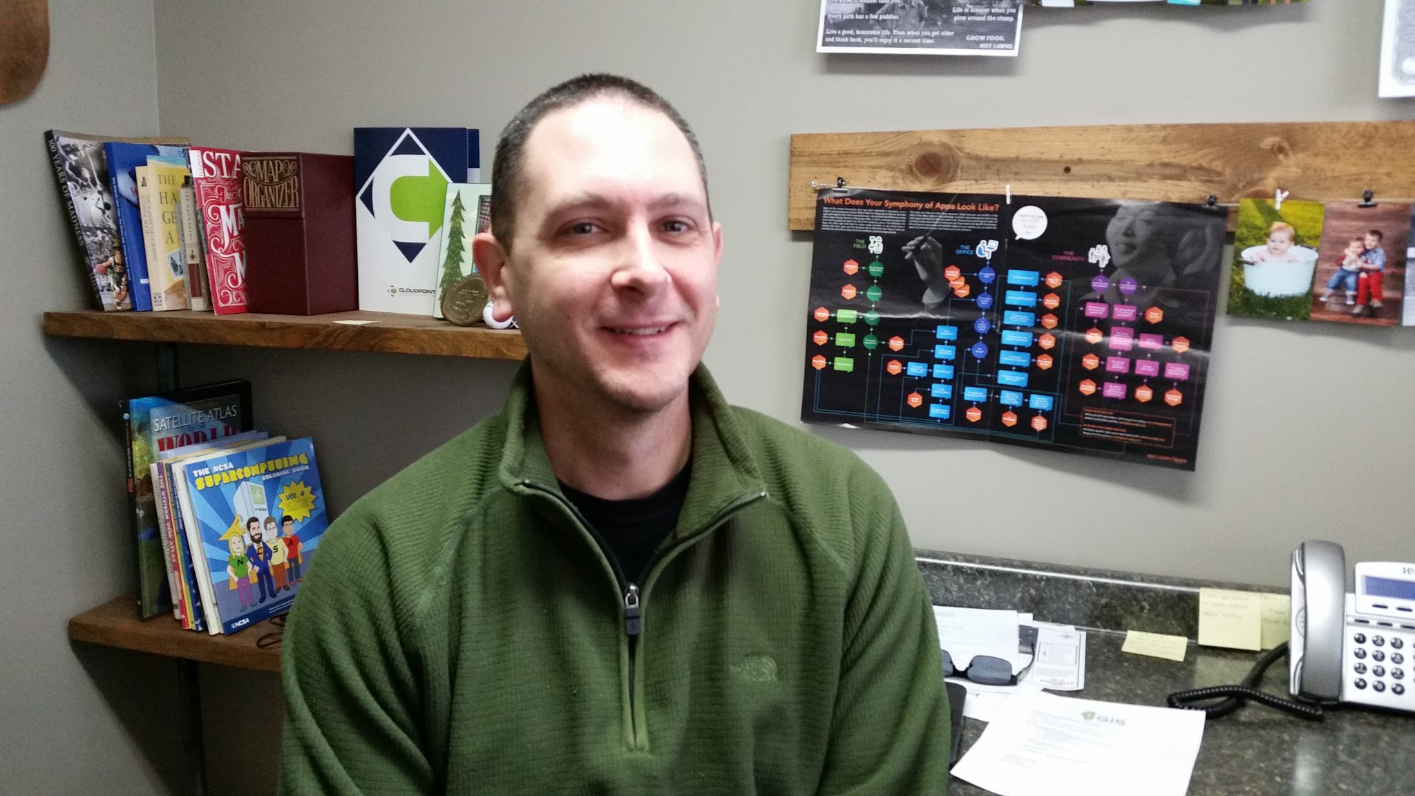
Matt and his talents further expand the services aspect of the Cloudpoint team. His previous professional exposure has given him a rare set of tools that allow diversity in our workforce. However, each previous employment opportunity has seemingly prepared Mr. Junker (pronounced: Yunker) to be a cohesive part of our team. Professionally, Matt has worked for public and private entities. His work includes cadastral data maintenance, creation and maintenance of GIS data for various county departments, development and maintenance of mapping applications, technical support for highway department sign inventory, and review of orthophotography proposals from vendors.
Matt plays a key role in providing managed GIS services for our clients and he plans to obtain his GISP certification in 2019 as he continues to take advantage of training and educational opportunities. Some of his favorite things to do in his spare time:
Travel the Midwest on family adventures
Play / watch sports (Chicago Cubs, Chicago Bears, Chicago Blackhawks, Fighting Ilini)
Outdoor activities
Listening to live music
When asked about his most interesting fun fact Matt says, “I was born during a blizzard, and my parents made it to the hospital with the assistance of County and State snow plows.” Thank goodness for our public servants who work so hard to keep the roads cleared. To describe where his interest in GIS started, Matt recalls, “My interest in maps started when I received a pocket atlas at about age 7. I collected my own traffic data on Route 89 in Varna from the living room window later on. After early plans for Architecture or Engineering fizzled, I chose Geography and worked as a Cartographer for my first professional gig. The interest in GIS built from there.”
Matt resides in Metamora, IL with his wife, Amy, and three young children. Cloudpoint Geographics is blessed to have Matt as part of our team of professionals.