Stephenson earns GISP certificate

Congratulations to Cloudpoint's, Paul Stephenson, for becoming the team's latest certified GIS Professional (GISP).  Paul was one of the very first people to sit for the newly established GISP examination through the GIS Certification Institute (GISCI) which he took last November.  With his professionalism and outstanding work ethic it was no surprise that he passed with flying colors.  Obtaining a GISP certificate involves an extensive application process which now includes the exam requirement.  With Paul's achievements, he joins Jon & Micah bringing the total number of GISP certified staff members at Cloudpoint to three.  The following are some notes highlighting what makes a certified GISP:

Pictured are Paul Stephenson (left) and Jon Hodel (right) with Paul's new GISP certification

Pictured are Paul Stephenson (left) and Jon Hodel (right) with Paul's new GISP certification

  •  Certified Geographic Information Systems (GIS) Professional endorsed by a 3rd party (GISCI) though a peer-reviewed evaluation. 
  • Has met the minimum standards for educational achievement, professional experience, and manner in which he or she contributes back to the profession, and practices in an ethical manner. 
  • Must abide by higher guidelines for ethical behavior. 
  • Continues to educate and reeducate him or herself while preparing for recertification. 
  • Has had their professional background scrutinized and reviewed by an independent third party organization. An Institute comprised of leading non-profit associations (AAG, NSGIC, UCGIS, GITA, URISA, and GLIS) focused on the application of GIS and geospatial technology. 
  • Can come from anywhere in the world, and current, active GISPs reside in all 50 States and 25 foreign countries.
  • Is more than a practitioner of GIS technology. 
  • Is a Professional.

Well done Paul!

Customer Spotlight - Dick Simon, City of Rock Falls, IL

Dick Simon, Rock Falls Electric Director, shown here with his GIS pulled up on the big screens for quick access to his electric distribution network.

Dick Simon, Rock Falls Electric Director, shown here with his GIS pulled up on the big screens for quick access to his electric distribution network.

Dick Simon is the Director of the Electric Department for the City of Rock Falls, IL.  Here is a little bit of information about how Dick got to where he is at today and what GIS has done for him.

Dick has been with the City for 25 years, starting as an Apprentice Lineman and working his way up to his current position of Director of the Electric Department.

As part of his duties, Dick is responsible for the maintenance, repair, replacement, testing and capital improvements to the transmission, substation, distribution and metering systems. Other responsibilities include, design of electrical system improvements, capital improvement plans, inventory coordination, preventive maintenance, bidding and contract documents, coordination of updates and improvements with GIS, liaison between City and electrical contractors.

When asked how his agency has benefited from GIS, Dick says "GIS will give us the power to create maps, (Electric, Fiber, Water and Sewer Systems) integrate information by creating an inventory of each system. Visualize scenarios, an example; we color code our electric feeders so when we have an outage we know how many customer are off.  Solve complicated problems, such as identifying the location of tie switches to restore power faster."

As a decision maker, Dick knows that GIS can be used for much more than just electric utilities.  He says "GIS is a very powerful decision-making tool that has a massive range of applications, whatever your business – resource management, logistics, planning, transport, surveying, demographic studies, and environment, to name but a few."

Cloudpoint would like to thank Dick for his commitment to GIS technology and use of the Esri platform in helping his organization to succeed with providing quality electric service to the citizens of Rock Falls, IL.  Because of Dick's insight, the city's utility networks are well on their way to streamlining operations through the use of GIS technology.

A Marketing partnership in the Making!

Cloudpoint teams up with Central States Media!

2016 is going to be a great year.  The Cloudpoint team is settled into our new office, we have several projects on the horizon, and we are happy to announce that we have hired Central States Media (CSM) to supplement our marketing needs.  CSM is based in Peoria, IL and works with clients throughout the country who complete a variety of different work.

We can't say enough good things about CSM and the help they offer.  President, Ann Johnston, and Project Manager, Brian Buralli, are a tag team of marketing professionals that provide detailed and creative ways for us to reach new clients. Jon had this to say, "CSM has been a big help for us with our marketing.  They have professional experience and a proven approach that easily builds a trustworthy relationship with them. We're very excited to see how they can help us expand on our services in the coming year and thankful for their partnership."

We are excited to have them on board to put their expertise to work and help spread the word about Cloudpoint Geographics.  You can learn more about Central States Media by visiting their website HERE

Open wide..... We've Moved!

aaagh.PNG

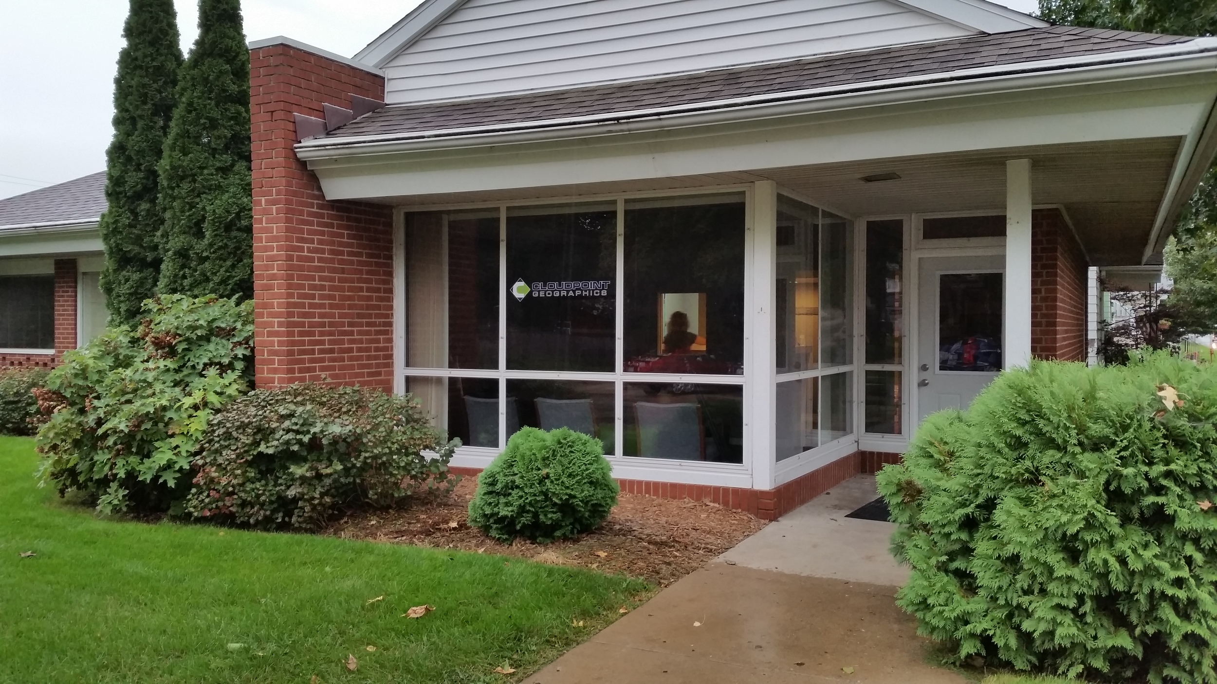
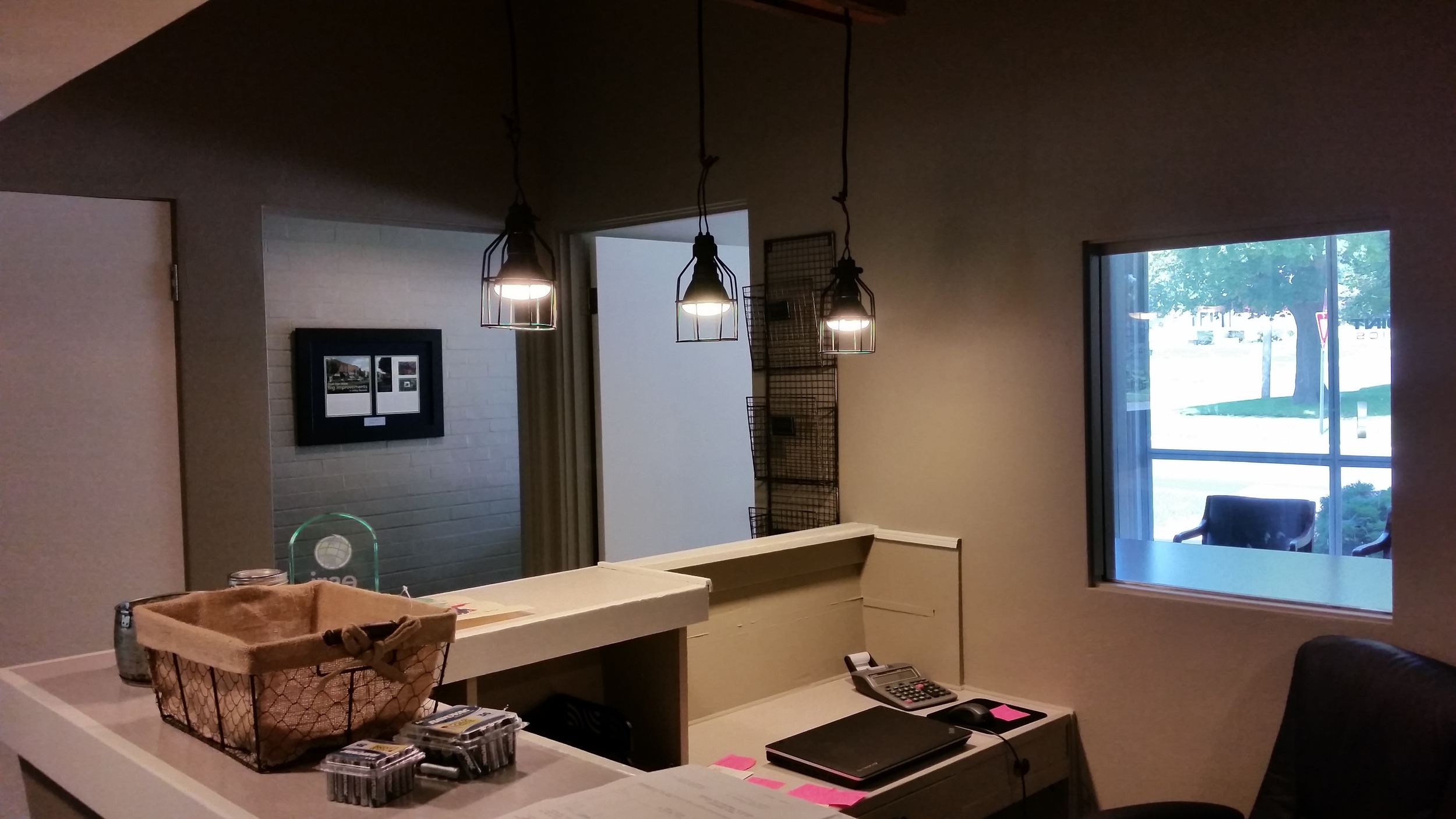
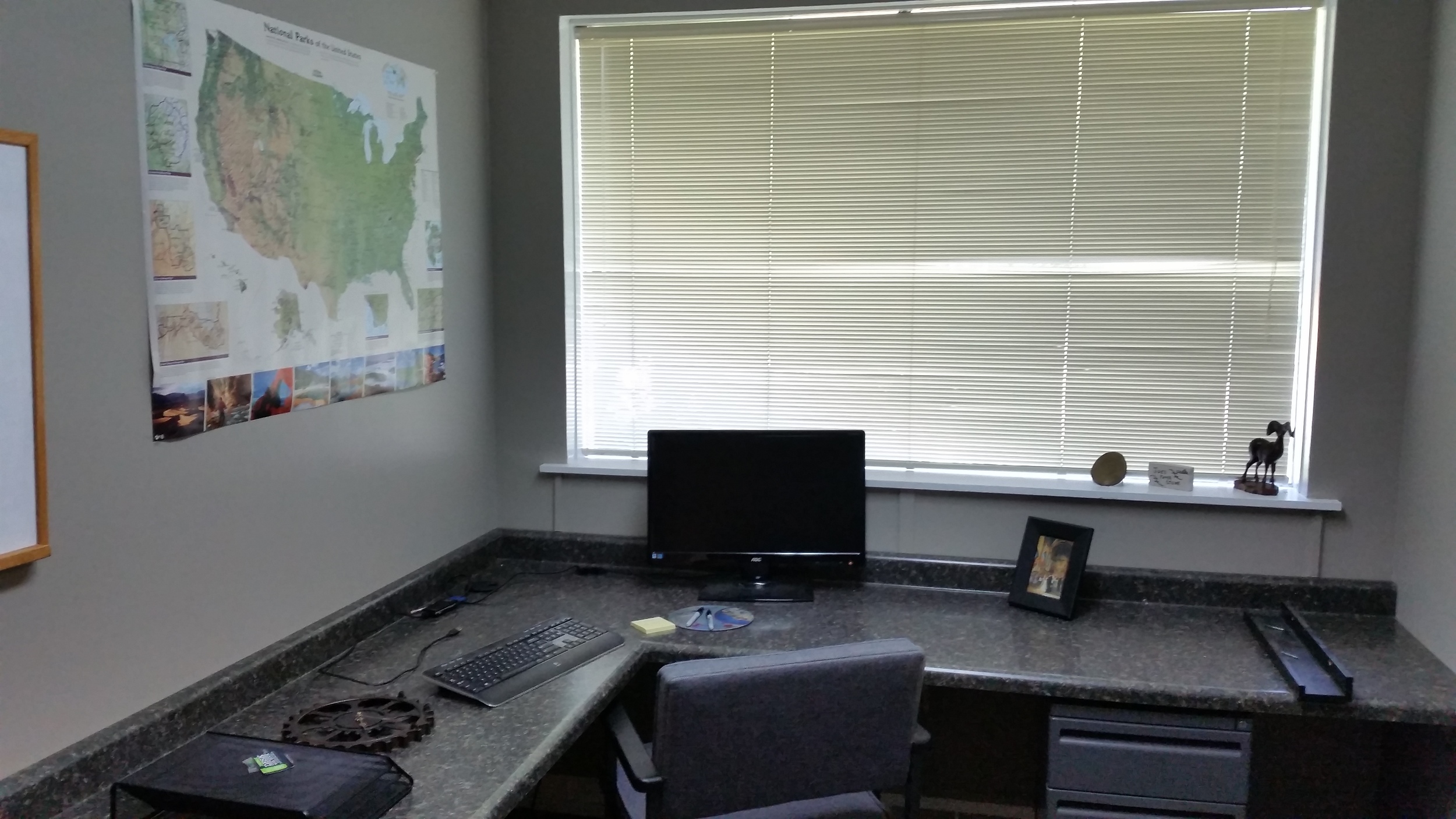
Growing up, I had a mouth full of cavities and now have plenty of fillings to show for it.  Little did I know at that time (back when I though I wanted to be a fireman) I would soon be making a living by working in that same building where I would go for routine checkups and teeth cleaning.   No, didn't go in to dentistry (although if you stop by we could take a look at your teeth but I wouldn't trust our diagnosis).  We recently purchased the former dentist office in Roanoke where just a few short months ago people were getting crowns and caps, now it is used for drones, ipads and desktop PC's.  We are excited to make it our new home here at Cloudpoint Geographics.  


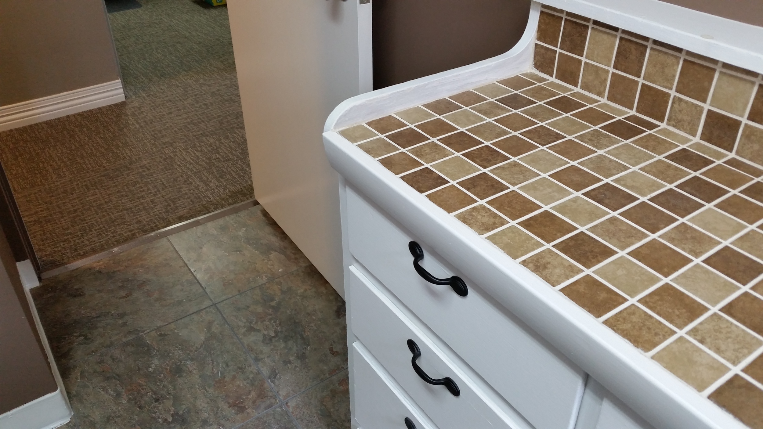
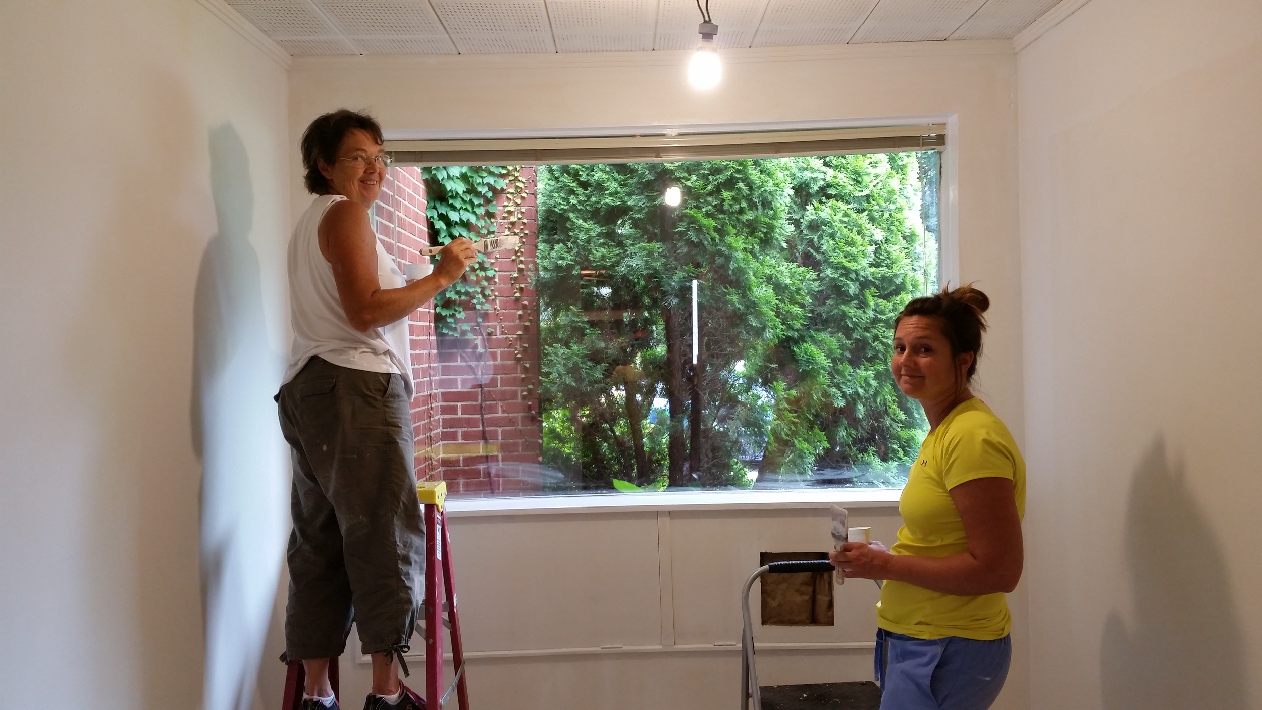
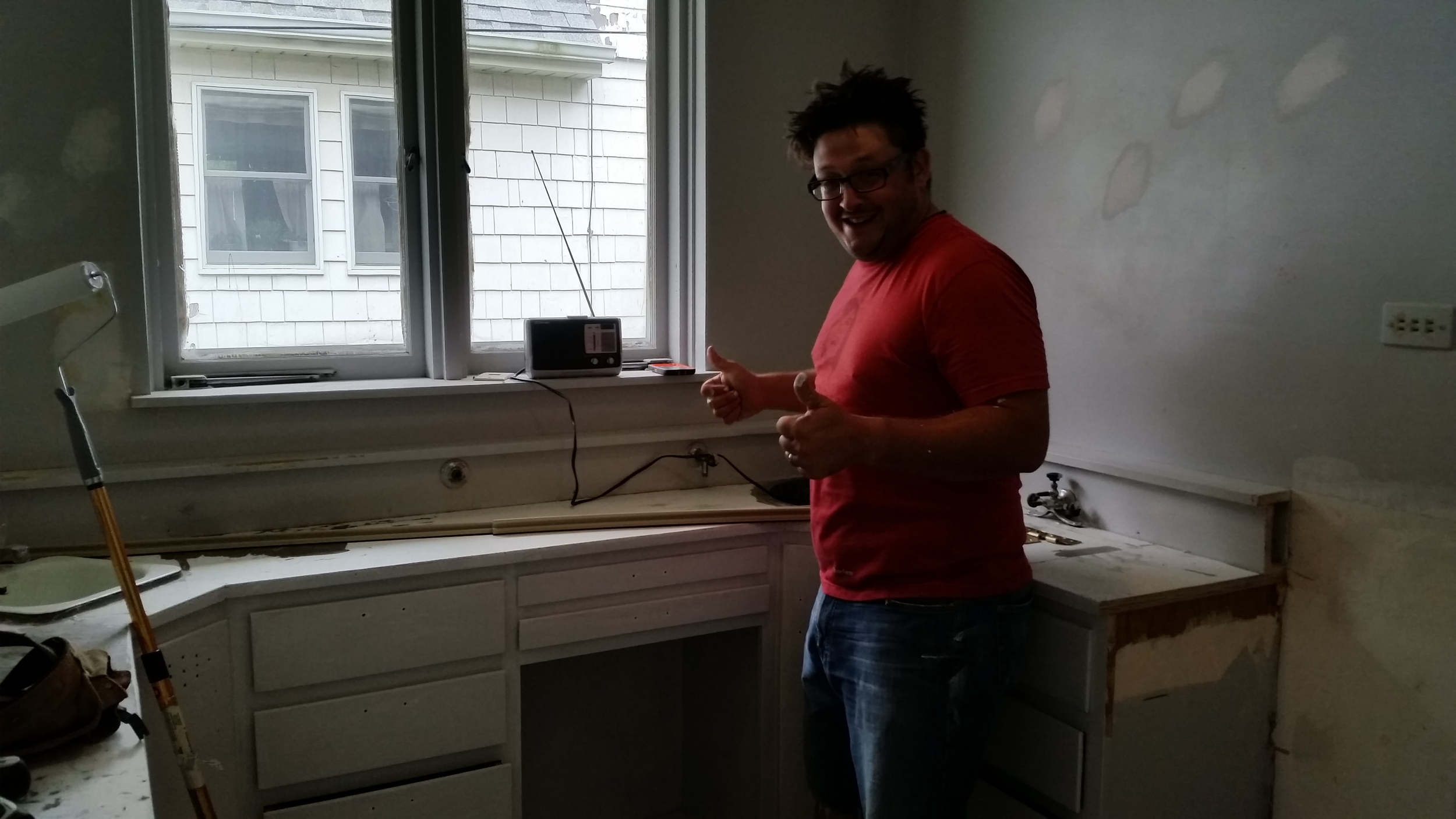
Ten (10) weeks of renovations consisted of ripping our old sinks and X-ray boxes, hoses, lines, excess wiring, tons of painting, new carpet, and best of all- the lighting.  We converted an old lab into a kitchen, and exam rooms are now functioning as high-tech office space.   The large window view that so many of us distracted ourselves with while a hygienist scraped on our jowls,  is now enjoyed by our staff as each person has their own private office.


We are blessed to have a new spot that so perfectly fits our current needs and the move was just across the parking lot from our old location.  Be sure to come by and visit us during our upcoming Open House on October 2nd from 4PM to 6PM.  

Map St. Chuck

Historic St Charles Missouri has a very modern tool for you to explore. We were delighted to help the staff of St Charles to create a hosted StoryMap that lets the general public discover all the city has to offer. Using ArcGIS Online templates and hosted on Amazon S3, we built the mapstchuck.com website in relatively short order and were able to customize it to meet staff requests.

The responsive website has 7 tabs across the top showing 7 categories of points of interest for the cities downtown area. Most every business, parking location and cultural landmark in St Charles is listed on the map. using the bookmarks available on the web map, we were able to also note the routes/detour locations for easy navigation around the city. 

Best of all the staff of St. Charles has complete control  over the content using ArcGIS Online organizational account to add, update or delete locations within the map. No continued cost or obligation to us or anyone else. Make it better!! 


Coming to an Office near you!

Here's an update as to what's going on at Cloudpoint Geographics. 

Office Remodel: 

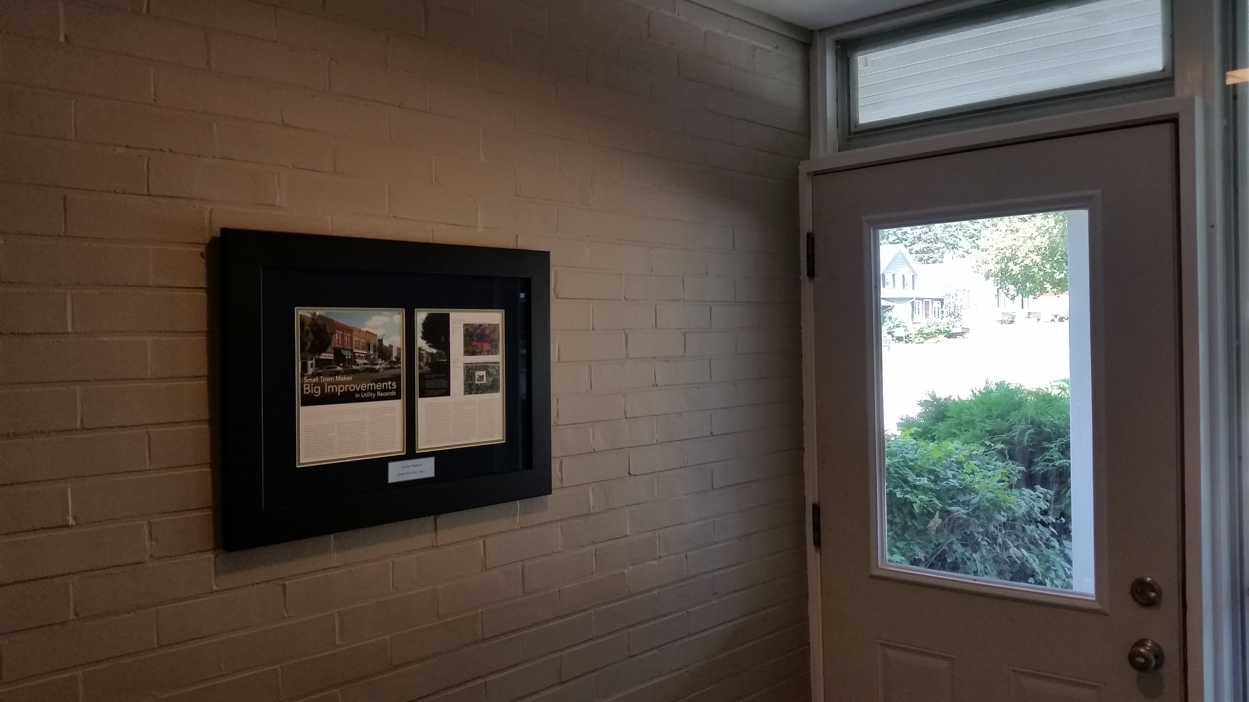
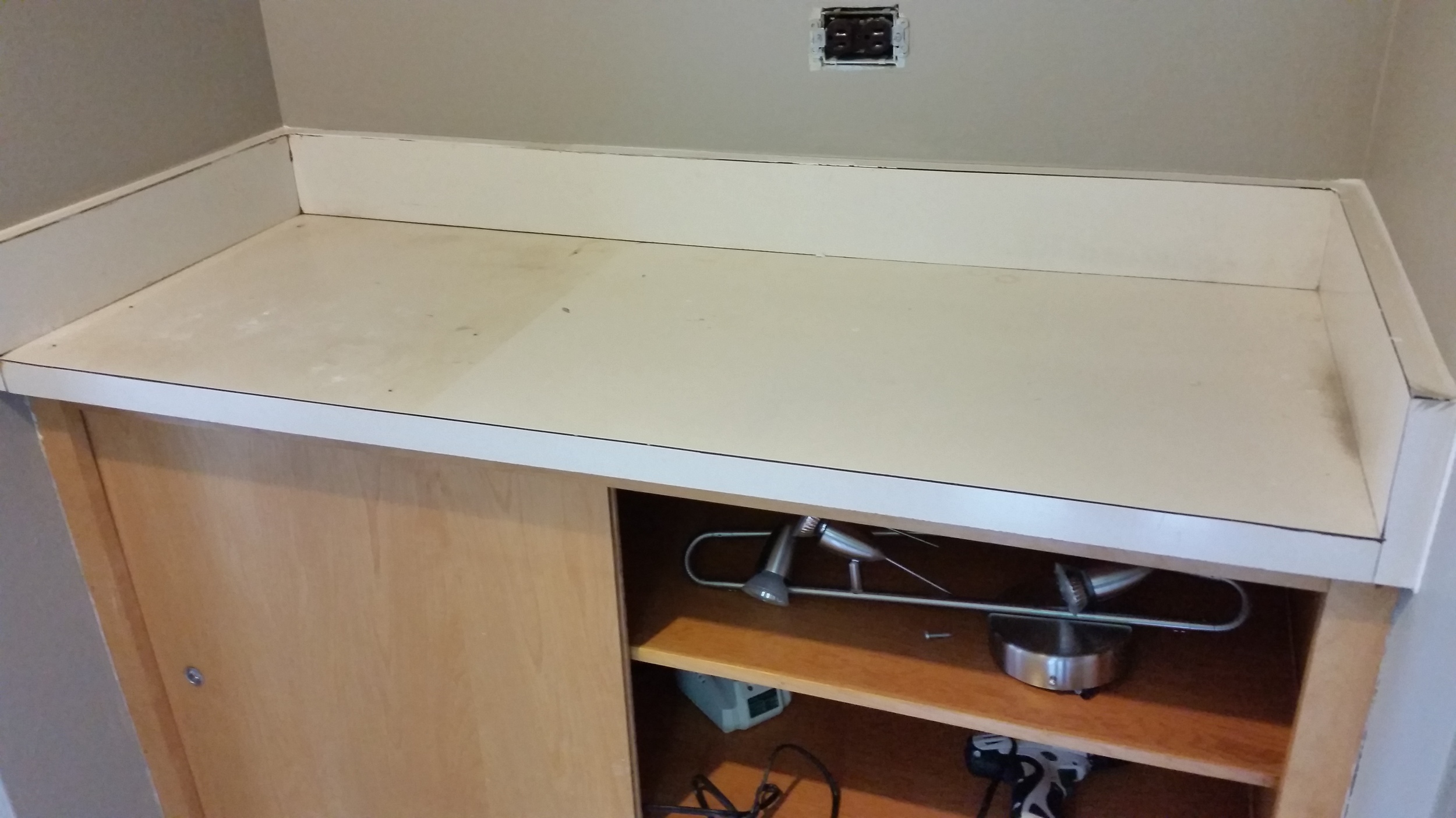
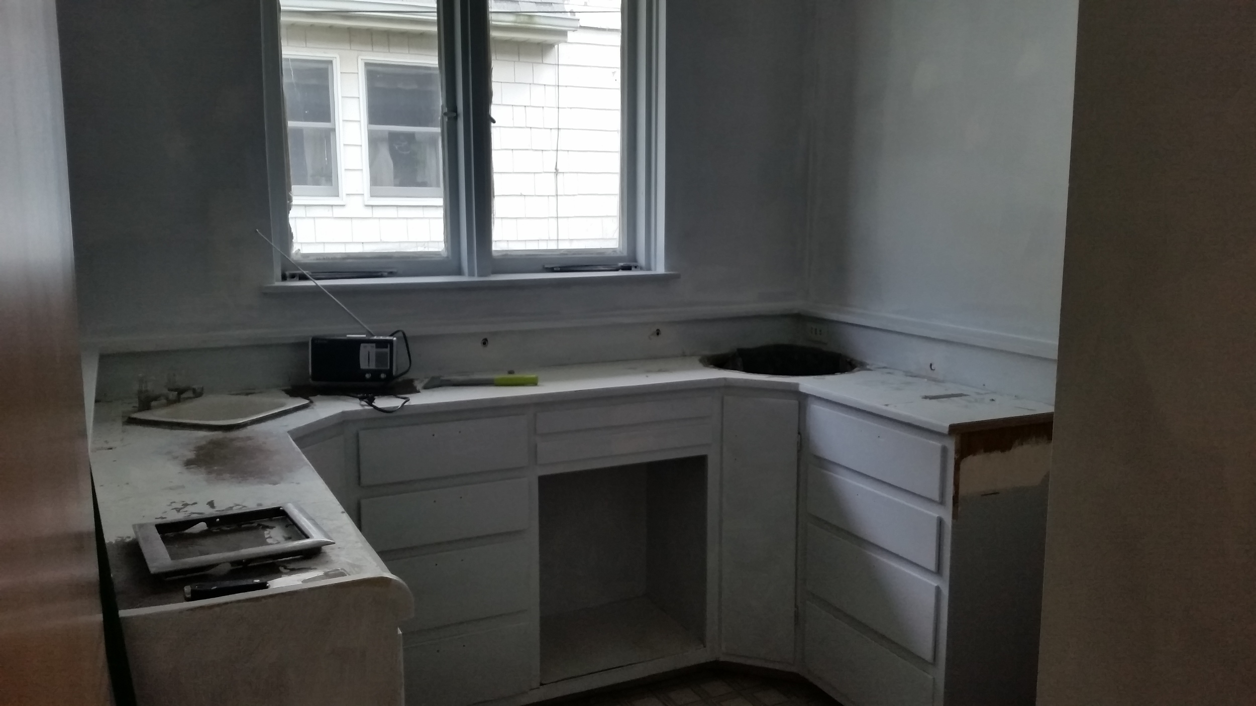
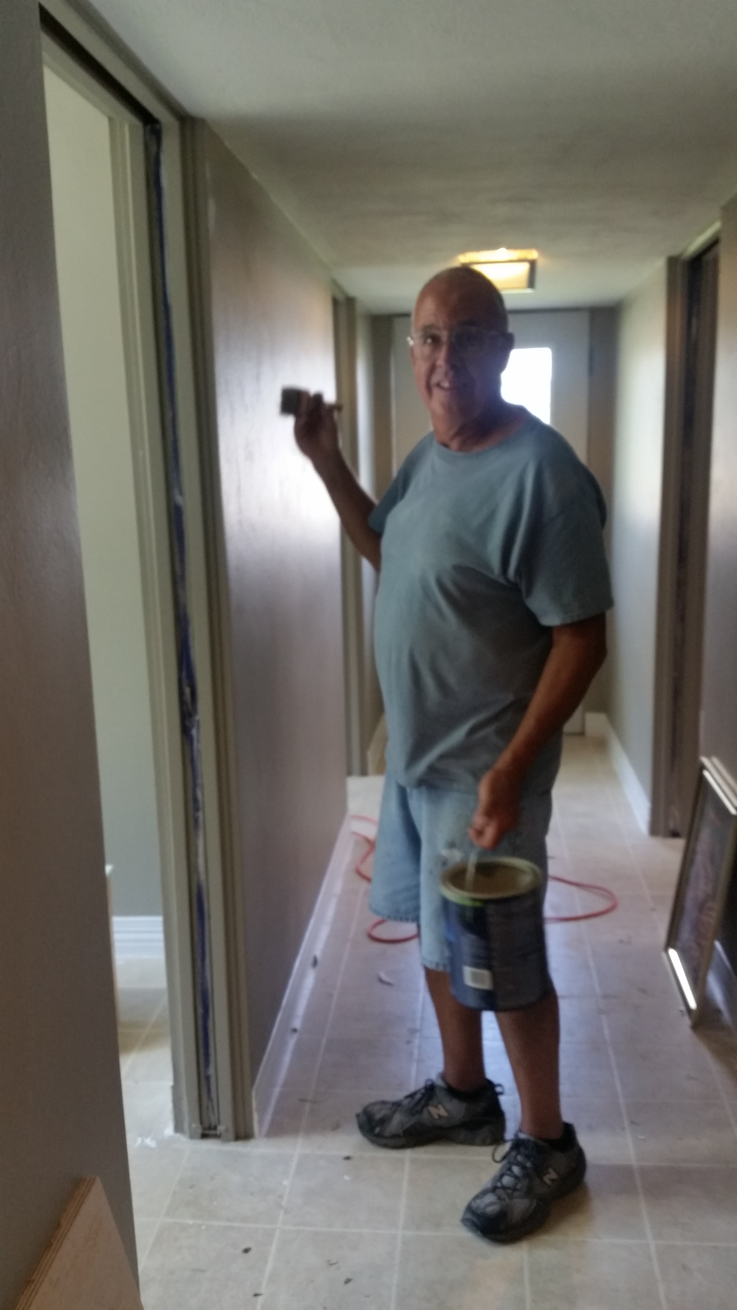
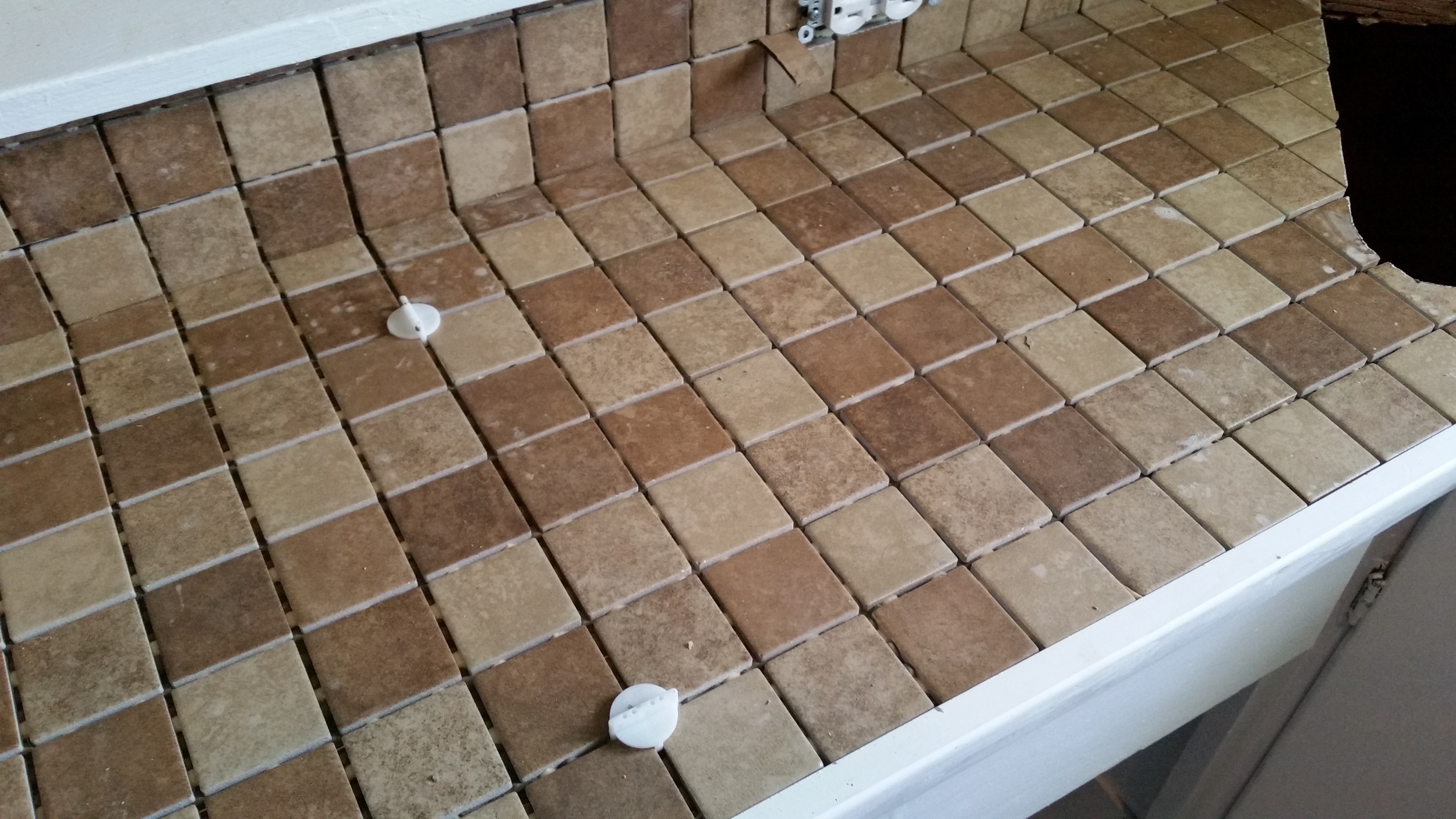
I've had some people say they heard we were moving a while back but nothing since then.  We are deep into the remodel project and can see light at the end of the tunnel.  Here are some quick snapshots of the work being done.


employee spotlight:

Our new office manager, Jodi Hoffman, has been doing an awesome job.  Outside of work, Jodi keeps track of three fine young boys (four if you count husband Eric) and keeps things rolling smoothly at home and in the office.  We are thankful to have her on our team.


ILGISA Conference 2015: 

1434664066.png

We are heading to the ILGISA conference in Springfield, IL very soon.  Hoping to get moved in to the new office just before that.  Be sure to stop by our booth and say hello to our team.  We will all be there!

Also Cloudpoint will be sponsoring the new Monday night social so don't miss out on the fun.

Matthew Junker joins the Cloudpoint Team

As of June 29th, Matthew Junker is the latest addition to start working with the greatest GIS consultant This side of the Mississip!
(possibly the other side too)

Psst! the 'J' is pronounced like a 'Y' but he's used to that by now. Matt is originally from Varna, Illinois but currently lives in Chillicothe with his wife and two young sons. In some bizarre-unplanned-coincidence he also has a BS from Illinois State (that makes 3 Dr. Sublett survivors). However less-so coincidental, his local government experiences are exactly in line with Cloudpoint's needs and wheelhouse. Matt brings years of parcel mapping to our firm and with his help, we expect to expand our offerings of parcel-fabric conversion.

Don't be fooled by his quiet demeanor, He's handy with a hammer and knows enough stats on Chicago sports to make your head spin. He already has a nickname because of his twitter handle: midRangeJ We look forward to introducing our clients to him and I'm sure they will find him just as professional and knowledgeable as the rest of our outstanding team. 

Welcome Matt! 

City of Bloomington looks to optimize routes

A typical automated collection truck outfitted with optimized routing is an efficiency machine

A typical automated collection truck outfitted with optimized routing is an efficiency machine

The City of Bloomington is practicing good stewardship for the tax payers and looking to improve efficiencies for its solid waste collection program.  To do so, they have hired Cloudpoint Geographics to look at existing garbage pickup locations and  compare them with the GIS roadway network to find the most optimized routes of travel.  These optimized routes will help identify the most efficient routing pattern for trucks based on travel times and traffic patterns.  Some of the benefits the City hopes to recognize as a result include improved customer service; cost savings on fuel, staff, and equipment; equitable workload for route drivers; and the ability to utilize this data for future GPS and real-time monitoring applications.  Questions regarding route optimization can be directed to Jon Hodel at (877) 377-8124.

World's Greatest Little City (just got better)

We are excited for the opportunity to work with the City of Mendota, IL (The World's Greatest Little City as noted on their hompage) on implementing a city-wide utility GIS.  The City has contracted Cloudpoint to collect all utility assets with high-accuracy GPS and create maps of each distribution system.  The project includes water distribution, storm water network, and sanitary system.  This information will serve as the foundation of the City's future CMOM (Capacity, Management Operation and Maintenance) plan as required by the U.S. Environmental Protection Agency (EPA).  In its simplest form, the CMOM is used for monitoring the operation of sanitary sewers to prevent overloading of waste treatment plants and the overflow prevention of sewage into lakes and streams.

Crews will be using a Trimble Geo XH 6000 for data collection and syncing the data with esri's ArcGIS Desktop software.  Upon completion the city will have a fully functional GIS system for their entire utility network.  The majority of the project is expected to be completed by the end of 2015.

Henderson 911 Addressing.

Cloudpoint staff has been busy on the roads of Henderson county, Illinois. We have been contracted for the purpose of implementing a rural addressing program to improve emergency response to rural areas and enhance postal & parcel deliveries. A rural addressing program will also help serve residents by improving the use of vehicle navigation systems. Namely finding addresses digitally in Henderson Co. has been tough, this will make it easier. We are closely working with the US Post Offices in Henderson County to make the addressing assignments make logical sense.

There are several phases to this process. data collection, address assignment & delivering of the data in a viable format to the county. Digital records are great for those who have digital mapping capabilities. Cloudpoint will provide the Henderson County Sheriff’s department with an updated database (csv, MS Excel, shapefile, or other GIS format) with old and new addresses. As well, we will create and provide a dry erase wall map containing road names & incorporated areas upon completion of the project. 


Pictures from around Henderson County during our 911 addressing data collection phase. 

Above are several images from the initial part of the data collection phase (all photos were taken while the vehicle was stopped). This project is a great example of the diversity of talent that Cloudpoint Geographics has. From 911 addressing to Parcel management to Utility inventories we have the skills and understanding to get the job done.